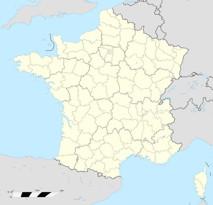
Country France Department Pas-de-Calais Canton Ardres Area 4.51 km² Local time Tuesday 5:38 PM | Region Hauts-de-France Arrondissement Saint-Omer Intercommunality Pays de Saint-Omer Population 687 (1999) | |
 | ||
Weather 7°C, Wind W at 27 km/h, 72% Humidity | ||
Bayenghem-lès-Éperlecques is a commune in the Pas-de-Calais department in the Hauts-de-France region in northern France.
Contents
Map of Bayenghem-l%C3%A8s-%C3%89perlecques, France
Geography
The village is located some 13 km (8.1 mi) northwest of Saint-Omer, on the D221 road, close to the D943 and the A16 autoroute.
Sights
References
Bayenghem-lès-Éperlecques Wikipedia(Text) CC BY-SA
