
Country France Department Aube Intercommunality Bar-sur-Aube Area 23 km² Arrondissement Bar-sur-Aube | Region Grand Est Canton Bar-sur-Aube Population (2010) 854 Local time Tuesday 5:38 PM | |
 | ||
Weather 6°C, Wind SW at 23 km/h, 80% Humidity | ||
Bayel is a French commune in the Aube department in the Grand Est region of north-central France.
Contents
- Map of 10310 Bayel France
- Geography
- Mapping
- Toponymy
- History
- Administration
- Demography
- Civil heritage
- Religious heritage
- References
Map of 10310 Bayel, France
The inhabitants of the commune are known as Bayellois or Bayelloises.
The commune has been awarded three flowers by the National Council of Towns and Villages in Bloom in the Competition of cities and villages in Bloom.
Geography
Bayel is located some 23 km west by north-west of Chaumont and 25 km south-east of Brienne-le-Château. Access to the commune is by the D396 from Ville-sous-la-Ferté in the south which passes through the commune just west of the village and continues north-west to Bar-sur-Aube. The D170 goes from the village to join the D396 then south and west to Baroville. The D47 goes north-east from the village to Lignol-le-Château. The TER Champagne-Ardenne railway from Troyes to Chalindrey passes through the commune coming from Bar-sur-Aube station in the north-west and continuing to Bricon station in the south-east with no station in the commune. The commune is mostly forest with some farmland following the railway line in the west of the commune.
The Aube river flows through the commune and the village forming part of the northern border as it flows north-west to eventually join the Seine at Marcilly-sur-Seine. The Ru du Gravelin rises just east of the commune and flows west to join the Aube. The Fossé de Six Pieds flows from a small lake in the commune to the Aube.
Mapping
A list of online mapping systems can be displayed by clicking on the coordinates (latitude and longitude) in the top right hand corner of this article.
Toponymy
Bayel appears as Bayel on the 1750 Cassini Map and the same on the 1790 version.
History
Bayel has been known for glass work since the year 1300. In 1666 Jean-Baptiste Mazzolay, a Venetian glass master, established a crystal glass works under the aegis of the religious of Clairvaux who were then owners of the premises.
King Louis XIV gave it the label Royal Manufacturer of Crystal in Bayel under letters patent due to the exclusive production and sales between Chaumont and Paris. The factory later became the Royal Crystal of Champagne. Every year thousands of visitors come to see the art of the glassmakers of Bayel.
The crystal works formerly had about 600 employees at the beginning of the 1970s but today there remain only 39.
Administration
List of Successive Mayors
(Not all data is known)
Demography
In 2010 the commune had 854 inhabitants. The evolution of the number of inhabitants is known from the population censuses conducted in the commune since 1793. From the 21st century, a census of communes with fewer than 10,000 inhabitants is held every five years, unlike larger communes that have a sample survey every year.
Sources : Ldh/EHESS/Cassini until 1962, INSEE database from 1968 (population without double counting and municipal population from 2006)
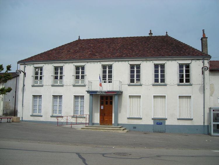
Civil heritage
The commune has two sites that are registered as historical monuments: