
Population 3,573 (2011 Census) Civil parish Bawtry Local time Tuesday 2:48 PM | OS grid reference SK6593 Dialling code 01302 | |
 | ||
Weather 7°C, Wind SW at 23 km/h, 69% Humidity | ||
Bawtry fire
Bawtry is a small market town and civil parish which lies at the point where the western branch of the Roman road Ermine Street crosses the River Idle in the Metropolitan Borough of Doncaster in South Yorkshire, England and met the Great North Road. Nearby towns include Gainsborough to the east, Retford south south-east, Worksop to the south-west and Doncaster to the north-west. Historically within the West Riding of Yorkshire, it had a population of 3,204 in the UK census of 2001, increasing to 3,573 at the 2011 Census.
Contents
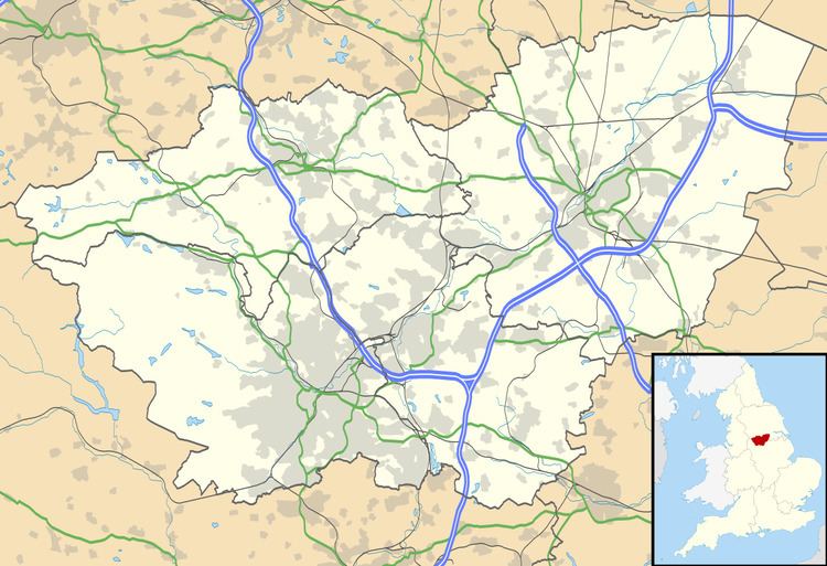
Map of Bawtry, Doncaster, UK
Bawtry doncaster
Location
Bawtry is located in the metropolitan borough of Doncaster on the border with Nottinghamshire, and is situated between Bircotes and Misson at the conjunction of the A614, A631 and A638 roads. The present A638 was for centuries the Great North Road, and in the 20th century the town was a notorious bottleneck, until it was bypassed in 1965. The county boundary with Nottinghamshire runs just to the south of the town and for this reason the southernmost house on the Great North Road is named 'Number One Yorkshire'.
The town's former prosperity was based on its communications, the River Idle in the days when it was a port, the Great North Road in the coaching era, and the Great Northern Railway.
Bawtry's geographical location is 53° 25' 40" North, 1° 1' West, at an elevation of around 65 feet (20 m) above sea level.
The town is located just south of Doncaster Sheffield Airport, formerly RAF Finningley. Bawtry Hall was home to RAF No.1 Group Bomber Command during and after the Second World War, and became the Headquarters of RAF Strike Command (see RAF Bawtry). From 1989 to 2013 Bawtry Hall operated as a Christian conference centre and a base for several Christian organisations.
Toponymy
The origin of the name "Bawtry" is not known for certain. However it is thought to be composed of the Old English words ball ("ball") and trēow ("tree"), thus meaning "(place at) the ball-shaped tree". Bawtry was not mentioned in the Domesday Book, but was recorded as Baltry in 1199. and as Bautre on a 1677 map.
Bawtry was originally a Roman settlement located on Ermine Street between Doncaster and Lincoln. In 616 AD, the Anglo-Saxon King Aethelfrith met his end in battle against Raedwald King of East Anglia, at Bawtry on the River Idle. The site lies close to the present borders of Yorkshire, Nottinghamshire and Lincolnshire; in Aethelfrith's time this area lay on the southern reaches of Northumbria, a dangerous marshy region close to the border with Lindsey and easily accessible from the East Anglian kingdom.
A small settlement developed around a wharf in the Danelaw era, and evidence suggests that St Nicholas' Church was first erected in this period. While the village originally lay in Nottinghamshire, boundary changes before the Norman conquest moved it just inside the West Riding of Yorkshire.
Around 1200, a new town was developed adjacent to the older village, by either John de Busli or Robert de Vipont. In 1213, de Vipont received a royal charter declaring an annual four-day fair at Pentecost, and a market was first recorded in 1247. The town grew as a river port, and also as a local commercial centre and a stopping point between Doncaster and Retford. By the mid-14th century, the port was exporting wool and other items overseas, and the Hospital of St Mary Magdalene was founded, which survived until the 18th century.
Trade declined, and by the 1540s, John Leland recorded it as being "very bare and pore", but it grew again in the Elizabethan period around the export of millstones.
Bawtry has a school called Bawtry Mayflower School named after the ship Mayflower, which took William Bradford, leader of the Pilgrims, to the Americas, settling the first Plymouth Colony. Bradford lived at Austerfield, close to Bawtry.
The White Hart in Swan Street is the oldest surviving pub in Bawtry dating back to 1689. The older Swan Inn, also in Swan Street, is still intact, but converted to other uses.
South Parade is a terrace of Georgian houses. The Market Hill and High Street contain other buildings of that period, interspersed with more recent developments.
The Courtyard in Bawtry is a modern development hosting a variety of shops and businesses. The entire development was designed by Graham Smith Design, who went on to win the "Green Apple Awards 2005" in recognition of the efforts to preserve and enhance the heritage of Bawtry.