
Local time Tuesday 3:31 PM | Region Normandy Area 18.45 km² | |
 | ||
Intercommunality Campagne et Baie de L'Orne Weather 9°C, Wind W at 29 km/h, 63% Humidity | ||
Bavent is a French commune in the Calvados department in the Normandy region of north-western France.
Contents
- Map of 14860 Bavent France
- Geography
- Mapping
- Toponymy
- History
- Heraldry
- Administration
- Twinning
- Demography
- Economy
- Civil heritage
- Religious heritage
- Sports
- Notable people linked to the commune
- References
Map of 14860 Bavent, France
The inhabitants of the commune are known as Baventais or Baventaises.
Geography
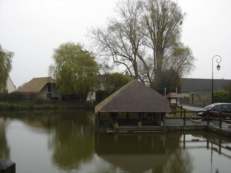
Bavent is located on the northern edge of the Caen plain some 8 km north-east of Caen and 6 km south-west of Cabourg. Access to the commune is by the D513 road from Varaville in the north-east which passes through the commune just north of the village and contues south-west to Hérouvillette. Access to the village is by the D236 which comes from Amfreville in the north-west. The D224 branches from the D513 in the commune and goes west to the village and continues to Goustranville. The D95A goes north from the village to Gonneville-en-Auge while the D95 goes south to Troarn. The D37B branches from the D513 in the west of the commune and goes north to Bréville-les-Monts. Apart from the village there are the hamlets of Chateau de Beneauville, Chef-de-Rue, Les Harnots, Grand Plain, La Ritachere, Le Prieure, La Petite Bruyere, Roncheville, and Robehomme. The commune is mostly farmland except for a large forest in the south.
At 1845 hectares, the commune is the largest in the canton of Cabourg. Its highest point (66 m) is located in the west near a place called La Grande Bruyère. Its lowest point (2 m) is at the exit of the Dives from the commune.
Due to its proximity to the sea, Bavent enjoys an oceanic climate. The nearest weather station is 19 km away at Caen-Carpiquet.
The Dives river forms the south-eastern border of the commune as it flows north-east to join the ocean at Houlgate. The Divette rises in the commune and flows north to join the Dives. The Douet du Moulin du Pre rises in the commune and flows north-east to join the Divette north of Varaville. The Saint-Laurent stream flows from the south through the commune and continues to join the Divette just north of the commune. The Ruisseau du Bois de Bavent forms part of the southern border of the commune.
Mapping
A list of online mapping systems can be displayed by clicking on the coordinates (latitude and longitude) in the top right hand corner of this article.
Toponymy
Bavent is attested in the forms: Bavent in 1059, Badvento in 1063, and Batvent in 1066.
The origin of this place name divides Toponymists:
It is also possible to suggest the Celtic name -ent- Latinized to -entu (m) which is also found in Douvrend (Dovrent in the 12th century) preceded by an unknown element in the absence of an older form. The same suffix has been identified in Nogent (Novientum, from novio meaning "new") and Drevant (Derventum from Dervo meaning "oak", cf. Breton derv also meaning "oak").
The name is homophonic with Bavans (Bavens 11th century, the name of a German man Bavo with the Germanic suffix -ingen Romanized to -ingos).
Robehomme is attested in the forms: Raimberti Hulmus in 1083, Rambertihulmus in 1149, and Robbehomme in 1190.
The first element Robe- comes from the German anthroponym Raimbert. The second element -hommen is widespread in Normandy in this form with the hiatus (the h is aspirated): Le Homme (not l'homme cf. Saint-Quentin-sur-le-Homme). This is a toponomic appellative derived from Old Norse holmr meaning "island" or "meadow at the edge of the water". It also took the forms Houlme and Hom. Moreover there is a hamlet of Hom at Robehomme.
There is also a personal name associated with a Norse appellative topt giving -tot as in Raimbertot at Cauville-sur-Mer (Seine-Maritime).
Bavent appears as Bavent on the 1750 Cassini Map and as Baven on the 1790 version.
Robehomme appears as Robehomme on the 1750 Cassini Map and as Robe homme on the 1790 version.
History
In 1974 the commune of Bavent (984 inhabitants in 1968) merged with Robehomme (122 inhabitants in 1954).
Heraldry
Administration
List of Successive Mayors
(Not all data is known)
Twinning
Bavent has twinning associations with:
Demography
In 2010 the commune had 1,734 inhabitants. The evolution of the number of inhabitants is known from the population censuses conducted in the commune since 1793. From the 21st century, a census of communes with fewer than 10,000 inhabitants is held every five years, unlike larger communes that have a sample survey every year.
Sources : Ldh/EHESS/Cassini until 1962, INSEE database from 1968 (population without double counting and municipal population from 2006)
Economy
The Terreal Group has a tile production plant in the commune.
The Mesnil pottery of Bavent manufactures finials of Faience. It holds an Enterprise label of living heritage and its expertise is included in the inventory of intangible cultural heritage in France.
Civil heritage
The commune has a number of buildings and sites that are registered as historical monuments: