
Vehicle registration PE Area 15.7 km² Local time Tuesday 2:40 PM Postal code 4342 | Time zone CET (UTC+1) Website www.baumgartenberg.at Elevation 237 m Population 1,565 (1 Apr 2009) Area code 07269 | |
 | ||
Weather 8°C, Wind NW at 5 km/h, 61% Humidity | ||
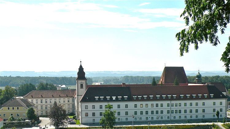
Baumgartenberg is a municipality in the district Perg in the Austrian state of Upper Austria.
Contents
Map of Baumgartenberg, Austria
Geography
Baumgartenberg lies at 237 meters. The extension is 4.5 kilometers from north to south, from west to east 6.8 kilometers. The total area is 15.7 kilometers ². 23.6% of the area is forested, 63.7% of the area ais used for agriculture.
Quarters include Amesbach, Au, Baumgartenberg, Deiming, Hehenberger, High, Kolbinger, Kühofen, Fiefs, Mettensdorf, Muhlberg, Obergassolding, Pitzing, Schneckenreit, Steindl and Untergassolding.
References
Baumgartenberg Wikipedia(Text) CC BY-SA