
Time zone MST (UTC+8) Postal code 11600 | State Penang Local time Tuesday 8:41 PM | |
 | ||
Weather 28°C, Wind N at 2 km/h, 80% Humidity | ||
Batu Lanchang is a suburb of George Town in Penang, Malaysia. It is located 5km southwest of George Town proper, and sandwiched between Air Itam to the west and Jelutong to the east.
Contents
- Map of Kampung Batu Lanchang 11600 Jelutong Penang Malaysia
- Curry mee lee huat cafe batu lanchang food hunt phv2 p125
- History
- Landmarks
- Neighbourhoods
- Health Care
- References
Map of Kampung Batu Lanchang, 11600 Jelutong, Penang, Malaysia
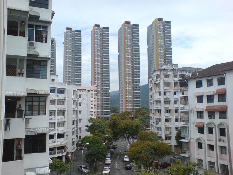
Formerly an agricultural area, Batu Lanchang has turned into a suburban residential area, with a mix of high-rises and landed properties. Green Lane, in particular, has become an affluent neighbourhood, whilst also serving as a major thoroughfare through Batu Lanchang, linking George Town and Gelugor.
Curry mee lee huat cafe batu lanchang food hunt phv2 p125
History
Batu Lanchang was once an agricultural area, where coconut groves stretched all the way to the hills of Air Itam. At the time, Green Lane was the only road through Batu Lanchang; true to its name, it was a country path lined with trees.
Urbanisation of the area began in the 1950s, when residential high rises were first built along Green Lane. The development of residential estates around Green Lane, such as Island Park and Island Glades, have transformed it into a wealthy suburban neighbourhood. Development then gradually spilled out across Batu Lanchang, leading to residential high rises like the Central Park.