Time zone CET (UTC+1) Area 145.8 km² Population 5,565 (2012) | Postal code 5830 Local time Tuesday 1:31 PM Area code 68 | |
 | ||
Weather 20°C, Wind S at 31 km/h, 37% Humidity | ||
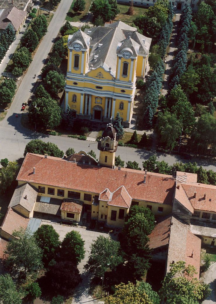
Battonya (Romanian: Bătania, Serbian: Батања/Batanja) is a town in Békés county, in the Southern Great Plain region of south-east Hungary. Residents are Magyars, with minority of Serbs.
Contents
Map of Battonya, Hungary
Geography
It covers an area of 145.77 km² and has a population of 5565 people (2012).
History
After the Ottoman occupation until 1918, BATTONYA was part of the Austrian monarchy, province of Hungary; in Transleithania after the compromise of 1867 in the Kingdom of Hungary.
Twin towns – Sister cities
Battonya is twinned with:
References
Battonya Wikipedia(Text) CC BY-SA
