District Batken District Time zone KGT (UTC+6) Area 51.8 km² Population 19,718 (2009) | Elevation 1,042 m (3,419 ft) Area code(s) +996 3622 Local time Tuesday 1:10 AM Number of airports 1 | |
 | ||
Weather 3°C, Wind S at 8 km/h, 67% Humidity | ||
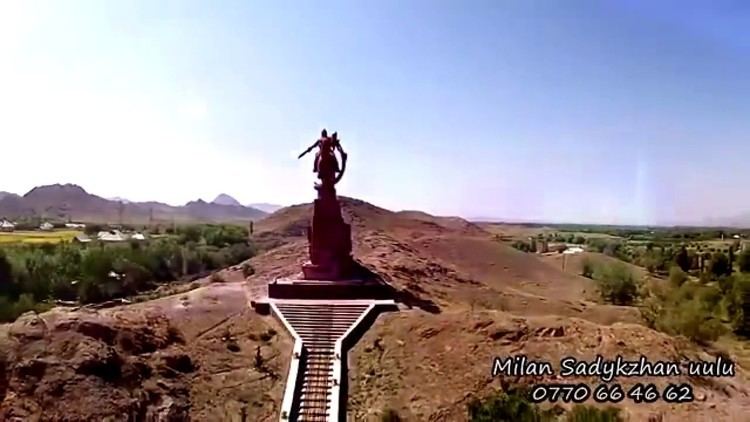
Batken (also called Batkent) is a small town in southwestern Kyrgyzstan, on the southern fringe of the Fergana Valley. It is the capital of Batken Region. Its area is 205 square kilometres (79 sq mi), and its resident population was 19,718 in 2009 (both including the villages Bulak-Bashi, Kyzyl-Jol and Bazar-Bashy). The population of the town proper was 13,435.
Contents
Map of Batken, Kyrgyzstan
Kommynas medical facility batken region
History
The name Batkent is from the Iranian language of Sogdian and means "The city of wind". Batken became the administrative headquarters of the youngest of Kyrgyzstan's seven regions, created from the three westernmost districts of Osh Region in 1999, after concerns over radical Islamist activities in neighboring Tajikistan and Uzbekistan led to demands for a more direct and visible governmental presence in this remote and mountainous region. Batken Airport links the town with Bishkek. Since 2000, there is a small university in Batken.
