
Chiefdom Libeisaygahun Elevation 34 m | Time zone GMT (UTC+0) Local time Monday 7:10 PM | |
 | ||
Weather 29°C, Wind SW at 14 km/h, 76% Humidity | ||
Batkanu is a village and seat of the chiefdom of Libeisaygahun in Bombali District in the Northern Province of Sierra Leone.
Contents
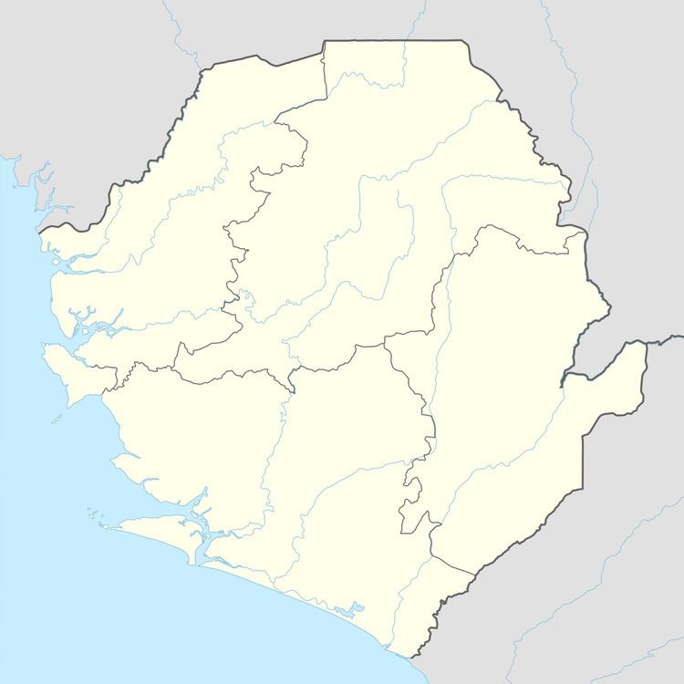
Map of Batkanu, Republic of Sierra Leone
Geographic facts
Latitude : 9.0833 Longitude: -12.4167 Elevation: 114 feet/34 meters
Climate
Relatively warm with a summer temperature range from 20 degrees Celsius to 30 degrees Celsius (68 to 86 °F). Batkanu has cloud coverage for the majority of the year, and typically has little precipitation.
Images
References
Batkanu Wikipedia(Text) CC BY-SA