
1549–1950 → 1892 565 km (218 sq mi) Area 565 km² | Established 1549 1892 17,283 | |
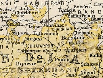 | ||
Baraundha (also known as Pathar Kachhar) was a princely state of colonial India, located in modern Satna district of Madhya Pradesh. Although historically far larger, at the time of Indian independence in 1947, it was a petty Sanad state of about 565 km2.
Contents
Map of Baraundha, Madhya Pradesh 485331
History
The ruling family were members of the Raghuvansi line of Rajputs.
Thakurs
Rajas
References
Baraundha Wikipedia(Text) CC BY-SA