
Country Region | Area 4,429.59 km2 | |
 | ||
Colleges and Universities University of Pecs, Theological College of Pecs Destinations Pecs, Mohacs, Komlo, Szigetvar, Siklos Points of interest Mecsek, Pecs TV Tower, Lake Pecs, Zengo, Mosque of Pasha Qasim | ||
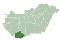
Map of Baranya County
Baranya (Hungarian: Baranya megye, [ˈbɒrɒɲɒ]); is the name of an administrative county (comitatus or megye) in Hungary, in the Baranya region, and also in the former Kingdom of Hungary (see: Baranya (former county)).
Contents
- Map of Baranya County
- Pecs baranya county hungary the borderless city
- Etymology
- Geography
- Neighbours
- History
- Demographics
- Ethnicity
- Religion
- Politics
- Municipalities
- City with county rights
- Towns
- Villages
- References

The county lies in southern Hungary, on the border with Croatia. The River Drava forms part of its southern border, and the River Danube its eastern border. It shares borders with the Hungarian counties Somogy, Tolna, and Bács-Kiskun. The capital of Baranya county is Pécs.
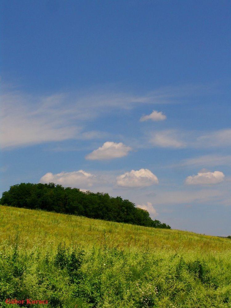
Pecs baranya county hungary the borderless city
Etymology
In German, it is known as Komitat Branau, and in Croatian as Baranjska županija (Baranja).
The county is name after the Slavic word 'bara', which means 'marsh', 'bog', thus the name of Baranya means 'marshland'. Even today large parts of the region are swamps, such as the natural reservation Kopački Rit in its southeast. Another theory states that the name of the region come from the Slavic and Hungarian word 'bárány', which means 'lamb'.
Geography
This county has a total area of 4,430 km2 (1,710 sq mi) – 4,76% of Hungary.
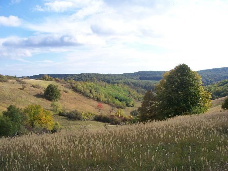
The northern part of the county is a mountain area with large forests, the Mecsek Mountains. The central areas are shared between the Baranya Hills and Villány Mountains. The very eastern and southern parts are flat.
The highest point in the county is Zengő in the Mecsek Mountains, at 682 metres. This is also the highest point of the mountain range.
The climate is Mediterranean, with a high number of sunshine hours. Baranya has the highest amount of rainfall in the country. Baranya is rich in mineral and thermal water, and also in other resources. 98% of Hungary's coal resources are found here.
Neighbours
History
The area has been inhabited since ancient times. Before the Hungarian tribes conquered the area, it was inhabited by Slavs and Avars. Stephen I founded an episcopal seat here.
In 1526, the county was occupied by Ottomans and was freed in 1689. Its medieval borders remained unchanged until 1919. According to the peace treaty of Trianon, the southern part of the county (1163 km²) reverted to Slavic rule (present-day Croatia). The re-organizing of the counties (1950) brought only minor changes (town of Szigetvár got there).
Baranya has the largest number of minorities in Hungary (more than twice the country average), providing home to 34% of the German minority and 32% of the Southern Slav minorities in Hungary.
Demographics
In 2015, it had a population of 371,110 and the population density was 84/km².
Ethnicity
Besides the Hungarian majority, the main minorities are the Germans (approx. 22,000), Roma (17,000), Croats (6,000), and Serbs (500).
Total population (2011 census): 386,441
Ethnic groups (2011 census): Identified themselves: 364,801 persons:
Approx. 58,000 persons in Baranya County did not declare their ethnic group at the 2011 census.
Religion
Religious adherence in the county according to 2011 census:
Politics
The Baranya County Council, elected at the 2014 local government elections, is made up of 19 counselors, with the following party composition:
Municipalities
Like Borsod-Abaúj-Zemplén, Baranya is a county of extremes when it comes to regional structure. The county seat is one of the five largest cities (and three largest agglomerations) of Hungary, but more than 2/3 of the municipalities are small hamlets with a population under 500. Half of the county's population lives in the county seat or in its immediate vicinity, while 22% of the population lives in villages that have less than 1000 inhabitants.
City with county rights
Towns
(ordered by population, as of 2011 census)
Villages
municipalities are large villages.