
Population 479 (2011 census) Time zone AEST (UTC+10) Baralaba Local time Thursday 4:07 PM | Postcode(s) 4702 Postal code 4702 | |
 | ||
Weather 36°C, Wind NE at 16 km/h, 35% Humidity | ||
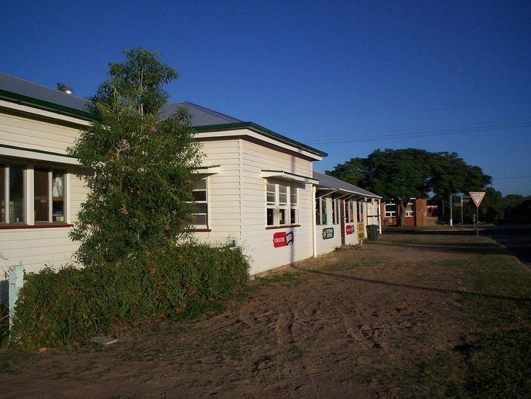
Baralaba is a small town and rural locality in the Shire of Banana in central Queensland, Australia. In the 2011 census, Baralaba had a population of 479 people.
Contents
- Map of Baralaba QLD 4702 Australia
- Geography
- Economy
- History
- Education
- Amenities
- Events
- Heritage listings
- Population data
- References
Map of Baralaba QLD 4702, Australia
Geography
The Dawson River forms the western boundary of the locality. The town is located in the north-west corner of the locality beside the river. The Neville Hewitt weir on the river at the town creates a wide river for irrigation and recreation.
The town is located 33 kilometres (21 mi) west of the Leichhardt Highway.
Economy
The local economy revolves around beef production.
History
The town's name is derived from an Aboriginal word meaning "high mountain" referring to nearby Mount Ramsay.
Baralaba Provisional School opened on 19 August 1918. It became a state school on 1 March 1922. In 1964, a secondary department was added.
Baralaba Post Office opened by April 1924 (a receiving office had been open since about 1919).
In May 1941, an Honour Board commemorating those who served in World War II was unveiled at the Returned and Services League of Australia Memorial Hall in Stopford Street (24.181750°S 149.811143°E / -24.181750; 149.811143 (Baralaba Memorial Hall & War Memorial)). Outside of the Memorial Hall is a white cross commemorating those who served in all wars and conflicts.
Two coal mines once operated in the Baralaba region. Both closed, but mining operations recommenced at one mine in 2005.
Education
Baralaba State School is a government co-educational primary and partial secondary (P-10) school located at 1 Power Street (24.181038°S 149.809072°E / -24.181038; 149.809072 (Baralaba State School)). In 2012, the school had an enrolment of 98 students with 14 teachers (10.7 full-time equivalent). As Baralaba State School only provides secondary education to Year 10, the nearest secondary schools offering Years 11 and 12 are located in Moura and Biloela.
Amenities
Baralaba Golf Club has a 9-hole golf course and is located on Alberta Road.
Events
Every March, there is a campdrafting competition at Baralaba.
The annual Baralaba agricultural show is held in May.
The Saratoga Fishing Competition is held each September.
Heritage listings
Baralaba has a number of heritage-listed sites, including:
Population data
In the 2011 census, Baralaba had a population of 479 people. This was in increase from the 2006 census, when Baralaba had a population of 290.