
Population 8,056 (2011) | Time zone IST (UTC+5:30) Lok Sabha constituency Jhargram Local time Thursday 10:59 AM | |
 | ||
Weather 31°C, Wind W at 10 km/h, 29% Humidity University Barabazar Bikram Tudu Memorial College | ||
Barabazar is a census town in Barabazar CD Block in Purulia Sadar West subdivision of Purulia district in the state of West Bengal, India.
Contents
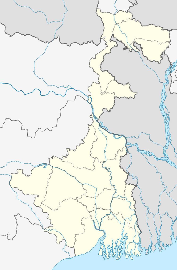
Map of Barabazar, West Bengal 723127
Geography
The area forms the lowest step of the Chota Nagpur Plateau. The general scenario is undulating land with scattered hills.
Police station
Barabazar police station has jurisdiction over Barabazar CD Block. The area covered is 414 km2 and the population covered is 170,876. It has 44.39 km of inter-state border with Kamalpur and Boram police stations in East Singhbhum district and Nimdih PS in Seraikela Kharsawan district of Jharkhand.
Demographics
As per 2011 Census of India Barabazar had a total population of 8,056 of which 4,195 (52%) were males and 3,861 (48%) were females. Population below 6 years was 881. The total number of literates in Barabazar was 5,751 (80.15% of the population over 6 years).
As of 2001 India census, Barabazar had a population of 7572. Males constitute 53% of the population and females 47%. Barabazar has an average literacy rate of 67%, higher than the national average of 59.5%; with 59% of the literates being male and 41% being female. 13% of the population is under 6 years of age.
Culture
There are sixteen remains of Jain temples at Pakbira near Bara Bazar. Some of the remains of temples and images are about 2,000 years old.