
Length 14 km Source elevation 183 m | Basin size 53,900 acres (218 km) Basin area 218.1 km² | |
 | ||
River mouth Lake Superior600 feet (180 m) Similar Palisade Head, North Shore, Gooseberry Falls State Park, Grand Portage State Park, Superior Hiking Trail | ||
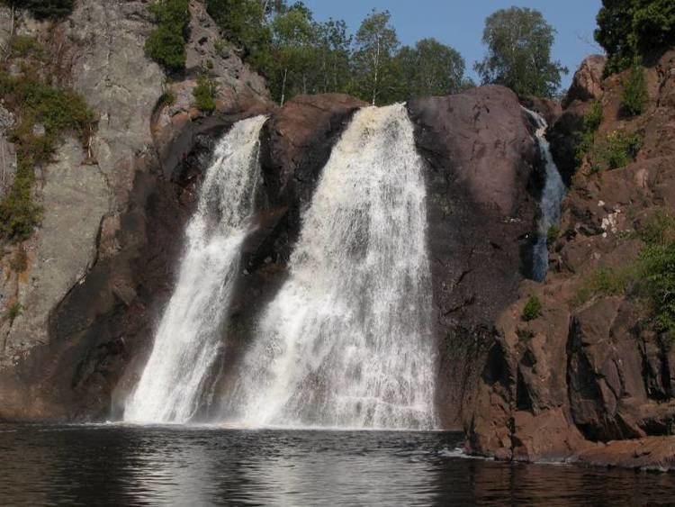
The Baptism River is an 8.8-mile-long (14.2 km) river of the U.S. state of Minnesota. The High Falls of the Baptism River, in Tettegouche State Park, is the highest waterfall entirely within the state of Minnesota at 60 feet (18 m). The High Falls on the Pigeon River is higher, but is on the border with Ontario.
Map of Baptism River, Beaver Bay Township, MN, USA
References
Baptism River Wikipedia(Text) CC BY-SA