
PIN 731221 Population 6,378 (2011) | Time zone IST (UTC+5:30) | |
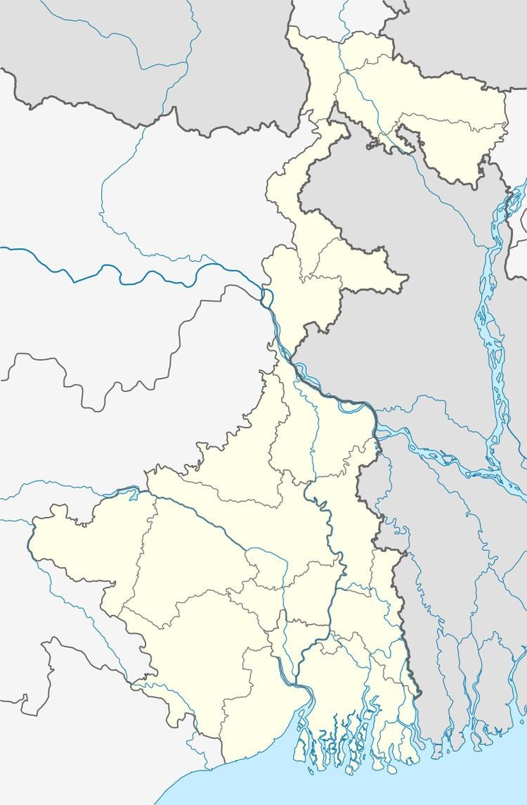 | ||
Bansabati is a village in Suti I CD Block in Jangipur subdivision of Murshidabad district in the state of West Bengal, India.
Contents
Map of Banshabati, West Bengal 731221
Geography
Bansabati is located at 24.4902°N 87.9947°E / 24.4902; 87.9947.
Educational institutes
References
Bansabati Wikipedia(Text) CC BY-SA