
PIN 571101 Elevation 654 m Local time Thursday 7:40 AM | Time zone IST (UTC+5:30) Vehicle registration KA-55 Population 23,190 (2001) ISO 3166 code ISO 3166-2:IN | |
 | ||
Weather 18°C, Wind E at 2 km/h, 58% Humidity | ||
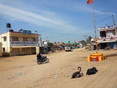
Bannur (Kannada: ಬನ್ನೂರ್) is a panchayat town in Mysore district (ಮೈಸೂರು) in the state of Karnataka, India. Bannur is a birthplace of Srivyasarajaru.
Contents
Map of Bannur, Karnataka 571101
Geography
Bannur is located at 12.33°N 76.86°E / 12.33; 76.86. It has an average elevation of 654 metres (2145 feet).
Bannur temple
Bannur temple is located right opposite to the bus station. The beautiful temple car is decorated during festival times and dragged along the town in a colorful procession of musicians and dancers. Thousands of people takes part in this festival which is conducted in February every year.
Demographics
As of 2001 India census, Bannur had a population of 23,190. Males constitute 51% of the population and females 49%. Bannur has an average literacy rate of 59%, lower than the national average of 59.5%; with 54% of the males and 46% of females literate. 11% of the population is under 6 years of age.