
Country United States Time zone CST (UTC-6) Elevation 151 m Zip code 61520 Population 373 (2010) | Established November 6, 1849 ZIP codes 61520 Area 88.3 km² Local time Wednesday 7:41 PM | |
 | ||
Weather 3°C, Wind W at 23 km/h, 67% Humidity | ||
Banner Township is one of twenty-six townships in Fulton County, Illinois, USA. As of the 2010 census, its population was 373 and it contained 177 housing units. The township was known as Utica Township, then Monterey Township, before becoming Banner Township.
Contents
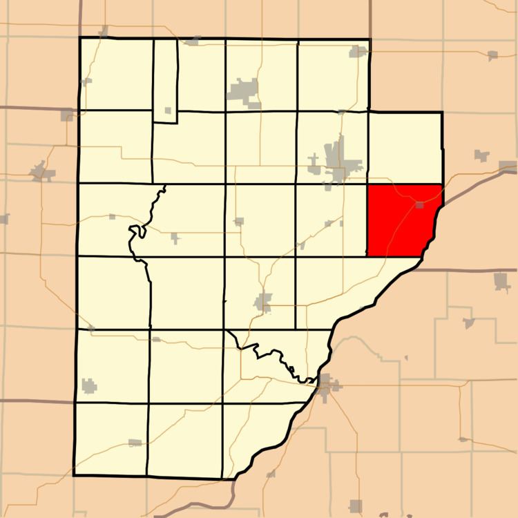
- Map of Banner Township IL 61520 USA
- Geography
- Cities towns villages
- Unincorporated towns
- Cemeteries
- Major highways
- Lakes
- School districts
- Political districts
- References
Map of Banner Township, IL 61520, USA
Geography
According to the 2010 census, the township has a total area of 34.1 square miles (88 km2), of which 28.5 square miles (74 km2) (or 83.58%) is land and 5.6 square miles (15 km2) (or 16.42%) is water.
Cities, towns, villages
Unincorporated towns
(This list is based on USGS data and may include former settlements.)
Cemeteries
The township contains these four cemeteries: Bybee, Kings Hill, Utica and Walnut.
Major highways
Lakes
School districts
Political districts
References
Banner Township, Fulton County, Illinois Wikipedia(Text) CC BY-SA