
Country India District Purnia PIN 854202 Elevation 37 m Area code 06467 | State Bihar Time zone IST (UTC+5:30) Telephone code 06467 Local time Thursday 6:56 AM Nearest city Purnia | |
 | ||
Weather 18°C, Wind E at 2 km/h, 73% Humidity Similar Baisi, Dagarua (Purnia), Banmankhi Bazar | ||
Banmankhi is a town in Purnia district of Bihar state, India. It's biggest assembly constituency of district.
Contents
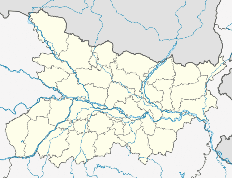
Map of Banmankhi, Bihar 854202
Geography
It is located at an elevation of 37 m above MSL. This town is famous for its sugar mills in past days but now it is most famous for is cattle, where 1000(nearly) of cattle such as buffalo, cow, goat and many pet animals are for sale. Places of tourist interest include: Prahalad Khamb (An ancient history about why Indians celebrate Holy festivals) Maharshi Mehi asharam (including born place and Maditation Ashram) also can visit Kajha Kothi, Kali Bari Mandir,Railway Matha Asthan. This place is very famous for its Festival in holy time.
Location
National Highway 107 passes through Banmankhi. Banmankhi Junction Railway Station is the nearest railway access point. Nearest airport is Patna Airport & Bagdogra Airport. Purnea Airport (ICAO: VEPU) is located near Banmankhi.