
ZIP codes 50674, 52147 Elevation 345 m Local time Wednesday 6:41 PM | Time zone CST (UTC-6) GNIS feature ID 0467412 Area 94.61 km² Population 326 (2010) | |
 | ||
Weather -1°C, Wind W at 23 km/h, 87% Humidity | ||
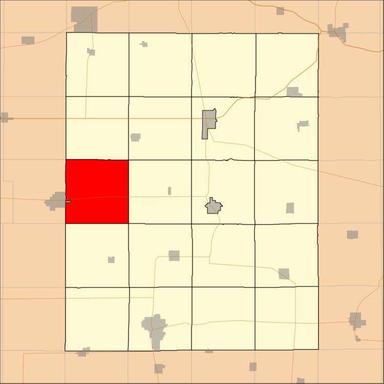
Banks Township is one of twenty townships in Fayette County, Iowa, USA. As of the 2010 census, its population was 326.
Contents
- Map of Banks IA USA
- Geography
- Adjacent townships
- Cemeteries
- Major highways
- School districts
- Political districts
- References
Map of Banks, IA, USA
Geography
According to the United States Census Bureau, Banks Township covers an area of 36.53 square miles (94.61 square kilometers).
The east edge of the city of Sumner extends into this township but is a separate entity.
Adjacent townships
Cemeteries
The township contains Union Evangelical Cemetery.
Major highways
School districts
Political districts
References
Banks Township, Fayette County, Iowa Wikipedia(Text) CC BY-SA