
GNIS feature ID 0468005 Area 95.28 km² Population 871 (2010) | Time zone CST (UTC-6) Elevation 349 m Local time Thursday 3:42 PM | |
 | ||
ZIP codes 50655, 50662, 50681, 52142, 52164 Weather 2°C, Wind SE at 26 km/h, 60% Humidity | ||
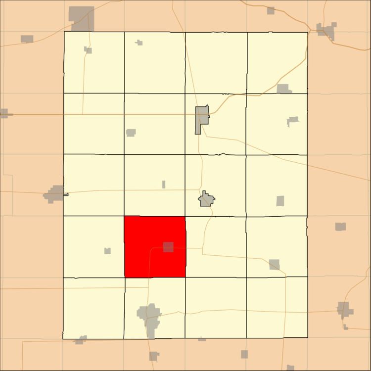
Harlan Township is one of twenty townships in Fayette County, Iowa, USA. As of the 2010 census, its population was 871.
Contents
- Map of Harlan IA USA
- Geography
- Cities towns villages
- Adjacent townships
- Cemeteries
- Major highways
- Landmarks
- School districts
- Political districts
- References
Map of Harlan, IA, USA
Geography
According to the United States Census Bureau, Harlan Township covers an area of 36.79 square miles (95.28 square kilometers); of this, 36.76 square miles (95.22 square kilometers, 99.94 percent) is land and 0.03 square miles (0.07 square kilometers, 0.07 percent) is water.
Cities, towns, villages
Adjacent townships
Cemeteries
The township contains these two cemeteries: Hope and Long Grove.
Major highways
Landmarks
School districts
Political districts
References
Harlan Township, Fayette County, Iowa Wikipedia(Text) CC BY-SA