
Vehicle registration WB Elevation 8 m Local time Thursday 6:01 AM | Time zone IST (UTC+5:30) Lok Sabha constituency Sreerampur Population 63,957 (2011) | |
 | ||
Weather 20°C, Wind SW at 0 km/h, 93% Humidity | ||
Bankra is a census town in Domjur (community development block) under Domjur police station in Sadar subdivision of Howrah district in the Indian state of West Bengal.
Contents
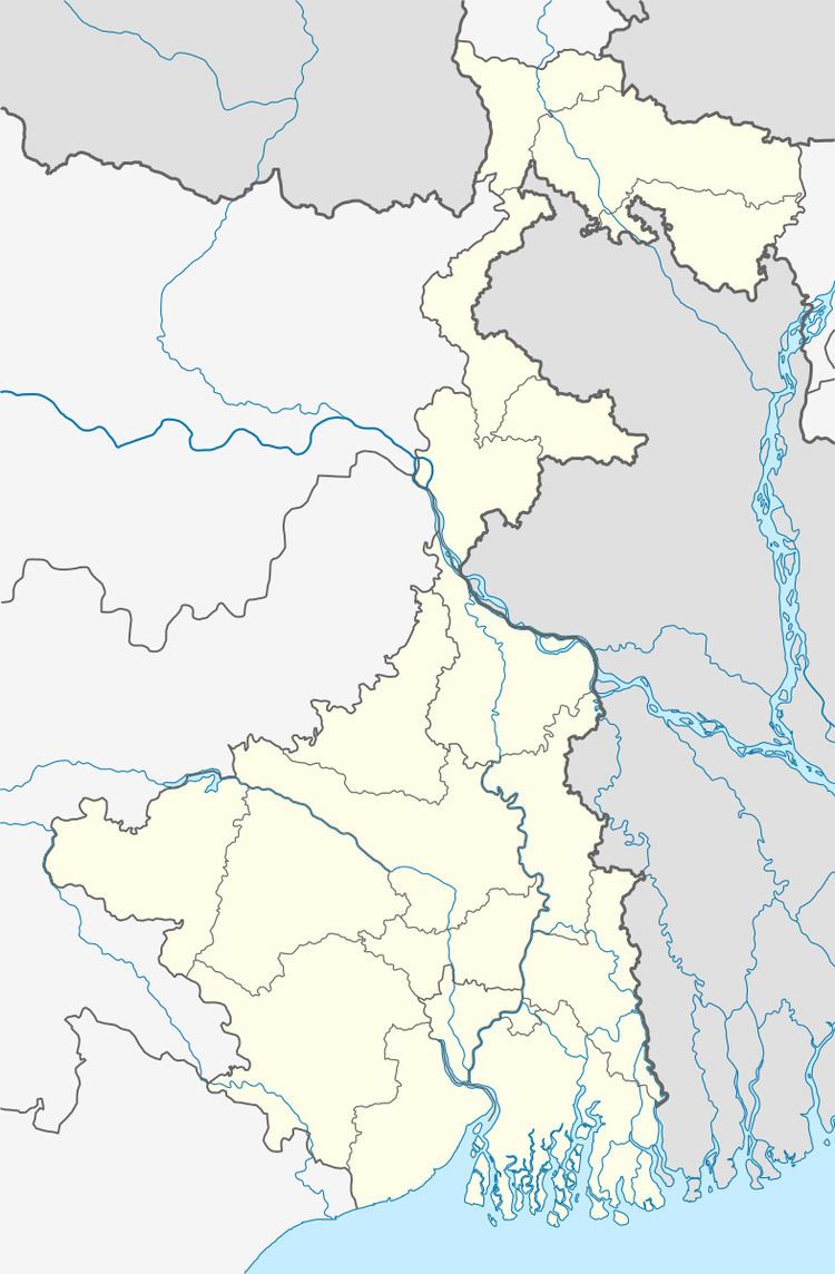
Map of Bankra, Howrah, West Bengal
Geography
Bankra is located at 22.63°N 88.3°E / 22.63; 88.3. It has an average elevation of 8 metres (26 feet).
Demographics
As per 2011 Census of India Bankra had a total population of 63,957 of which 33,079 (52%) were males and 30,878 (48%) were females. Population below 6 years was 8,911. The total number of literates in Bankra was 41,560 (75.50 % of the population over 6 years).
Bankra was part of Kolkata Urban Agglomeration in 2011 census.
As of 2001 India census, Bankra had a population of 48,403. Males constitute 52% of the population and females 48%. 15% of the population is under 6 years of age.