
Population 5,043 (1991) | Zone Mechi Zone Time zone Nepal Time (UTC+5:45) Local time Thursday 4:07 AM | |
 | ||
Weather 18°C, Wind E at 5 km/h, 69% Humidity | ||
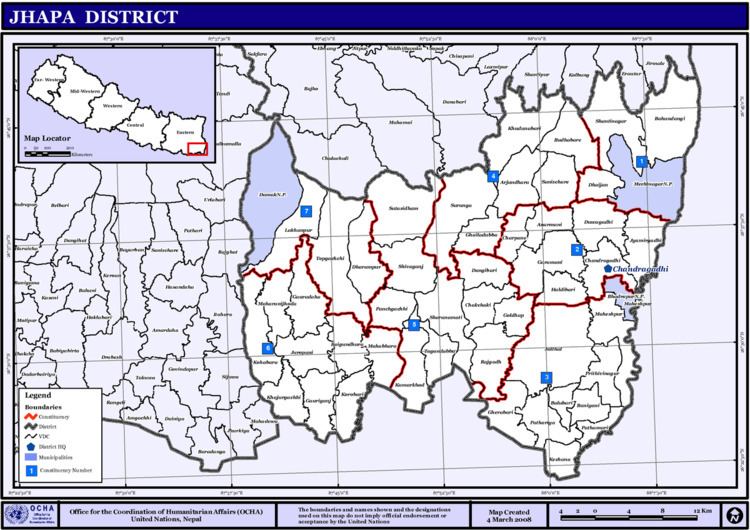
Baniyani (Nepali: बनियानी) is a Village Development Committee in Jhapa District in the Mechi Zone of south-eastern Nepal. At the time of the 1991 Nepal census it had a population of 5043 people residing in 985 individual households. Laxmi Higher Secondary School, Baniyani Health-Post, and an Armed-Force Camp are located in the vicinity. Mechi River flows to the east on the border of Nepal and India.
Contents
Map of Baniyani 57200, Nepal
Demographics
Many ethnic groups live in the region, such as: Rai, Newar, Tamang, Limbu, Meche, Koche, Rajbanshi, Gangain, Muslim, and Gaine.
References
Baniyani Wikipedia(Text) CC BY-SA