
Intercommunality Belle-Île-en-Mer Area 25.54 km² Local time Wednesday 10:41 PM | Canton Belle-Île Demonym(s) Bangorins Population 894 (2007) | |
 | ||
Weather 10°C, Wind W at 37 km/h, 77% Humidity Points of interest Aiguilles de Port‑Coton, Goulphar lighthouse, Plage du Donnant | ||
Bangor is a French commune in the Morbihan department in the Brittany region of north-western France. It is one of the four communes on the island of Belle-Île.
Contents
- Map of 56360 Bangor France
- Geography
- Climate
- Toponymy
- History
- Administration
- Demography
- Civil heritage
- Religious heritage
- Notable people linked to the commune
- References
Map of 56360 Bangor, France
The inhabitants of Bangor are called Bangorins.
Geography
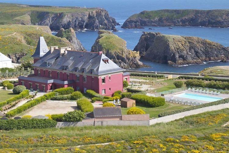
Bangor is one of four communes on the island of Belle Île located on the south-west coast of the island. The island is some 14 km south of the Quiberon peninsula. Access to the commune is by the D190 road from Le Palais in the north and the D25 from Locmaria in the east which continues to Sauzon in the north-west. There is the small Aerodrome de Belle-Île in the north of the commune which hosts the Aeroclub de Belle-Ile en Mer. Apart from the village there are many hamlets in the commune:
Several offshore islands also belong to the commune as well as other unnamed islets:
The commune consists almost entirely of farmland.
Climate
The commune is exposed to strong winds.
Toponymy
It is not known if the name comes from Bangor Abbey in Northern Ireland, one of the most famous abbeys in Western Christianity, from where it is known that monks like Columbanus came to evangelize in Armorica in the 6th century, or from the Monastery of Bangor-Fawr, founded in Wales around 545 on the Menai Strait.
The Breton name of the commune is Bangor.
History
The commune of Bangor has been inhabited since prehistory as evidenced by the Pierre Sainte Anne menhir.
Bangor has been the administrative centre of the island for 10 centuries. It was the name of a priory founded by Benedictine monks who came to colonize and populate the island starting in the 7th century.
Colonization consisted of dividing the island into five parishes with Bangor occupying the middle Each parish was a small area given to residual families from the island or to colonists who were asked by the monks to come to Brittany.
In the 9th century the island was devastated by the Vikings and the priory was placed under the secular protection of the Counts of Cornouaille (in Armorican Brittany). In 1029 the Count of Cornouaille Alain Canhiart entrusted the island to the recently founded Sainte-Croix de Quimperlé Abbey. As it was directly under the authority of the Pope, Belle-Ile benefited from immunity from being under the authority of both the bishopric of Vannes and the duchy of Brittany. The administration of the island was delegated to a provost of the abbey who had temporal power (the right of low, middle, and high justice which was performed sometimes at Belle-Ile and sometimes at Quimperlé). From 1408 the right was exercised only at Quimperlé.
The Count of Cornouaille entrusted the island to the Benedictines of Redon Abbey who were able to take possession of it after long protests from the abbot of Quimperlé. The priory remained in the same spot as its predecessors (on the current location of the municipal campground of Bangor) and a fort was constructed at Le Palais which later became the capital of the island instead of Bangor.
Belle-Île was governed by monks until the 16th century when incessant attacks by pirates forced them to relinquish their fiefdom to the king, or rather to the regent Catherine de' Medici, who gave the land in vassalage to the Gondi family - then owners of the Pays de Retz. The land, however, remained under the heavy hand of the regime until the French Revolution.
The Goulphar lighthouse on the west coast of Bangor has been active since 1836.
The semaphore of Talut was put into service in 1862.
Administration
List of Successive Mayors
(Not all data is known)
Demography
In 2010 the commune had 932 inhabitants. The evolution of the number of inhabitants is known from the population censuses conducted in the commune since 1793. From the 21st century, a census of communes with fewer than 10,000 inhabitants is held every five years, unlike larger communes that have a sample survey every year.
Sources : Ldh/EHESS/Cassini until 1962, INSEE database from 1968 (population without double counting and municipal population from 2006)
Civil heritage
The commune has many buildings and structures that are registered as historical monuments:
Religious heritage
The commune has several religious buildings and structures that are registered as historical monuments: