
VDC Bangesal Elevation 368 m | Region Mid-Western Elevation-- at Bangesal village 368 m (1,207 ft) Local time Thursday 1:38 AM | |
 | ||
Weather 17°C, Wind N at 5 km/h, 45% Humidity | ||
Bangesal is both a town and Pyuthan District, Nepal's southernmost Village Development Committee; also Pyuthan's lowest in elevation. This VDC is in the Siwalik hills north of Deukhuri Valley.
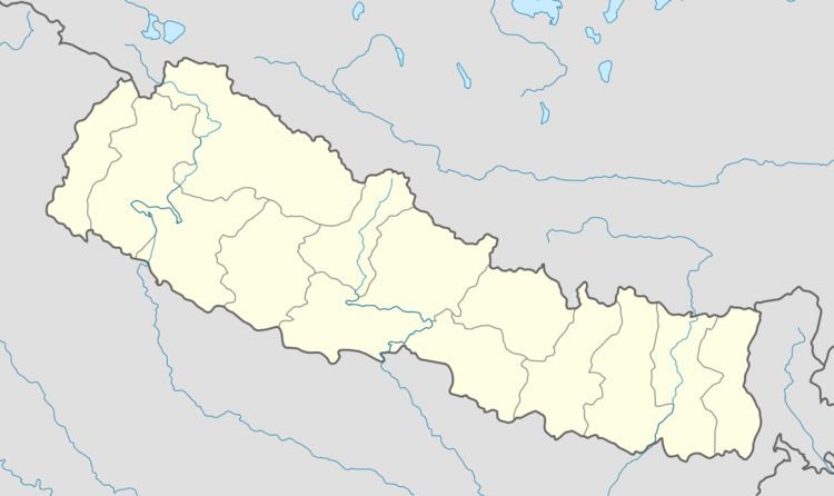
Map of Bangesal, Nepal
Elevations range from 323 metres (1,060 ft) at the confluence of Rangle Khola with the West Rapti River bordering Dang district, up to 1,080 metres (3,540 ft) on the crest of the Siwaliks. Except for a few hectares exceeding 1,000 metres elevation, Bangesal falls into Nepal's upper tropical climate zone.
References
Bangesal Wikipedia(Text) CC BY-SA