
Country Thailand Postal code 25150 Area 361.2 km² Province Prachinburi Province | Time zone ICT (UTC+7) Geocode 2506 Population 30,807 (2005) | |
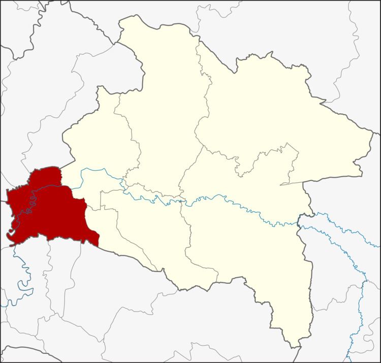 | ||
Ban Sang (Thai: บ้านสร้าง, [bâːn sâːŋ]) is the westernmost district (amphoe) of Prachinburi Province, central Thailand.
Contents
Map of Ban Sang District, Prachin Buri, Thailand
History
In the past the area of the district was dense forest with many wild elephants. Laotians from Vientiane moved to settle their village in the area, which they named Ban Chang (lit., Elephant village). Later the name changed to Ban Sang. Ban Sang district was established in 1905.
Geography
Neighboring districts are (from the northwest clockwise) Ongkharak, Mueang Nakhon Nayok, and Pak Phli of Nakhon Nayok Province, Mueang Prachinburi and Si Mahosot of Prachinburi Province, Ratchasan, Bang Khla, Khlong Khuean and Bang Nam Priao of Chachoengsao Province.
The important water resource is the Prachinburi River.
Administration
The district is divided into nine sub-districts (tambon), which are further subdivided into 93 villages (muban). Ban Sang itself is a township (thesaban tambon) which covers parts of tambon Ban Sang and Bang Krabao. There are a further seven tambon administrative organizations (TAO).