
Elevation 454 m Local time Thursday 4:34 AM | Postal code 568 02 Area 12.94 km² Population 325 (1 Jan 2014) | |
 | ||
Weather 3°C, Wind S at 19 km/h, 84% Humidity | ||
Holba lhl 2015 2016 1 kolo kl terec lev ban n 2 3
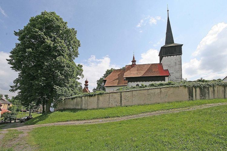
Banín (German Bohnau) is a village and municipality (obec) in Svitavy District in the Pardubice Region of the Czech Republic.
Contents
- Holba lhl 2015 2016 1 kolo kl terec lev ban n 2 3
- Map of 568 02 BanC3ADn Czechia
- Holba lhl 2015 2016 1 kolo kl terec lev ban n 1 3
- References
Map of 568 02 Ban%C3%ADn, Czechia
The municipality covers an area of 12.94 square kilometres (5.00 sq mi), and has a population of 302 (as at 3 July 2006).
Banín lies approximately 11 kilometres (7 mi) south of Svitavy, 64 km (40 mi) south-east of Pardubice, and 153 km (95 mi) east of Prague.
Holba lhl 2015 2016 1 kolo kl terec lev ban n 1 3
References
Banín Wikipedia(Text) CC BY-SA