
Postal code 00400 | Local time Wednesday 6:51 PM | |
 | ||
Weather 26°C, Wind SE at 5 km/h, 78% Humidity Restaurants Colombo Courtyard, The Gallery Café, Sponge Pastry Shop, Arabian Knights, Green Cabin Hotels Cinnamon Red Colombo, Bookingslk, Colombo Courtyard, Ocean Edge Suites Co, Mandarina Colombo | ||
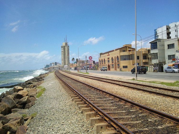
Bambalapitiya is a neighbourhood of Colombo, Sri Lanka. The area, numbered Colombo 4, spans about one and a half kilometres of the Galle Road in Colombo. The west of the suburb is bordered by the Indian Ocean, to the east it borders Havelock Town , to north lies Kollupitiya and to the south is Wellawatte.
Contents
- Map of Bambalapitiya Colombo Sri Lanka
- History
- Notable landmarks and organizations
- Educational institutions
- Diplomatic missions
- References
Map of Bambalapitiya, Colombo, Sri Lanka
History
In the early 19th century it is believed Bambalapitiya was a jungle infested with snakes. Cashew trees were common here. Outlaws would seek hiding in the dense jungle, and hijack bullock carts carrying produce between Galle and Colombo. .
Notable landmarks and organizations
The shopping mall known as Majestic City has many shops and boutiques along with a cinema, a food court, and a supermarket. It is a popular gathering point for local youth as well as enthusiastic shoppers. The unofficial IT Shopping Center known as Unity Plaza is also situated in Bambalapitiya.
Educational institutions
Bambalapitiya is also regarded as a Training Hub as many private sector schools and colleges such as ICBS, ICBT Campus, IDM Computer Studies, ESOFT Computer Studies, and PIBT are clustered in this area. It is also home to a number of leading educational establishments. St. Peter's College,is one of the leading Catholic boy's schools in Sri Lanka is located in the southern end of Bambalapitiya. Holy Family Convent (better known as HFC),is also a leading Catholic girls' school. Well known Colombo Hindu College is located in Bambalapitiya.