
Postal code 00300 | Local time Friday 4:39 AM | |
 | ||
Time zone Sri Lanka Standard Time Zone (UTC+5:30) Weather 24°C, Wind E at 5 km/h, 91% Humidity Points of interest Casino Marina Colombo, Kollupitiya Jumma Mosque, Star Dust Restaurants Cinnamon Grand Colombo, Raja Bojun, Which Way West, Nuga Gama, The Bavarian Hotels Cinnamon Grand Colombo, Galle Face Hotel, Ramada Colombo, Mövenpick Hotel Colombo, Renuka City Hotel | ||
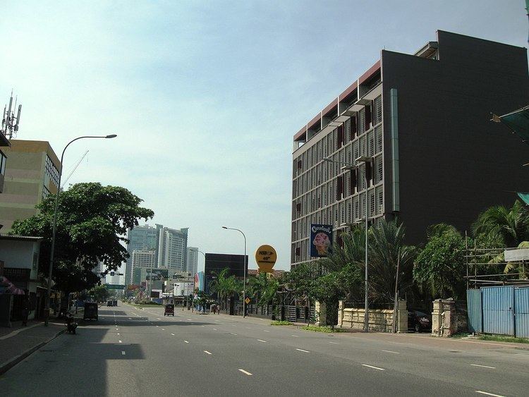
Kollupitiya is a major neighbourhood of Colombo, Sri Lanka. The name Kollupitiya comes from the name of a chief from Kandy who had unsuccessfully attempted to dethrone the last king of Kandy. During the period of British and Dutch administration, a brewery had commenced in Kollupitiya which converted coconut treacle into liquor. Nowadays, the suburb is a thriving commercial area containing fashionable high-end shopping malls. Some foreign embassies are located in Kollupitiya. The Prime Minister's House (Colombo) is located in Colombo 3 just two blocks south of Maha Nuge Gardens; a prominent private laneway in Kollupitiya.
Contents
- Map of Kollupitiya Colombo Sri Lanka
- Demographic
- Schools
- Diplomatic Missions
- Government Offices
- References
Map of Kollupitiya, Colombo, Sri Lanka
Demographic
Kollupitiya is a multi-religious and multi-ethnic area. The major ethnic communities in Kollupitiya are Sinhalese. There are also there various minorities such as Burghers, Tamils, Arab descendants and others. Religions include Buddhism, Hinduism, Islam, and Christianity.
Schools
There are several government schools located in Kollupitiya. Those are: