
PIN 700150 Population 19,766 (2011) | Time zone IST (UTC+5:30) Lok Sabha constituency Jadavpur | |
 | ||
Bamanghata is a census town in Bhangar II Block under Kolkata Leather Complex police station in Baruipur Sadar subdivition of South 24 Parganas district in the Indian state of West Bengal.
Contents
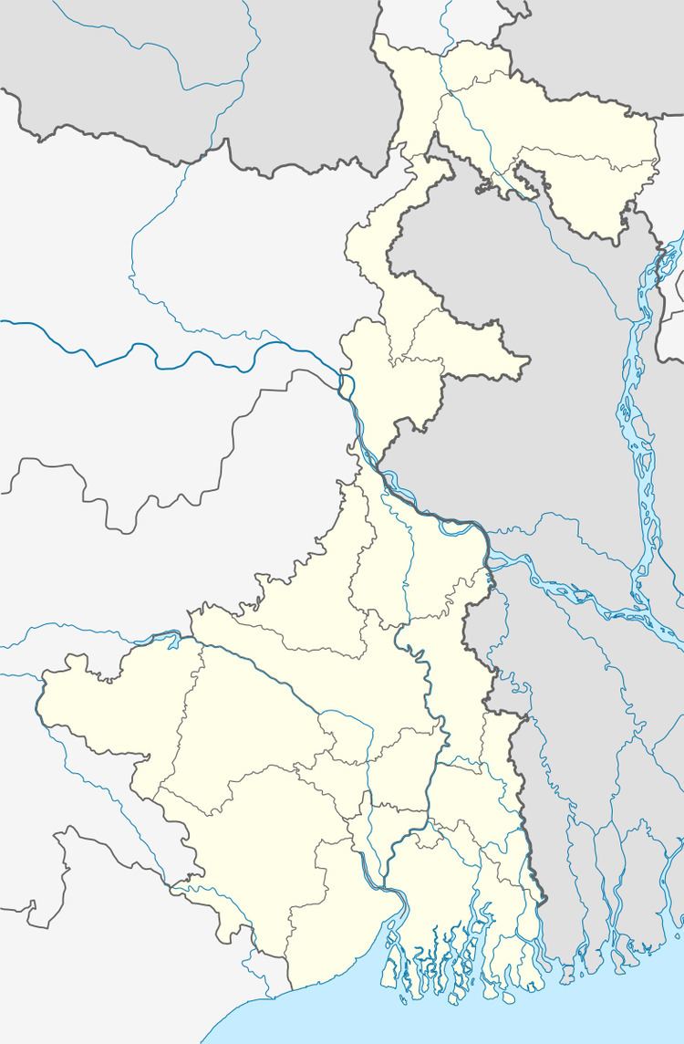
Map of Bamanghata, Manpur, Bagdoba, Kolkata, West Bengal
Geography
Bamanghata is located beside the basanti high way,at the coordinates 22.30°N 88.27°E / 22.30; 88.27. This palace is located 8.6 km from Science City towards east,10 km from Sonarpur towards south,24 km from Newtown towards north and 52 km from Dhamakhali towards west.
Demographics
As per 2011 Census of India Bamanghata had a total population of 19766 of which 10,278.32(52%) were males and 9487.68 (48%) were females.
Bamanghata has an literacy of 76%.There is an engineering college near Bamanghata in the range of 1000m named Bengal Institute of Technology, Kolkata. Also there are two schools in Bamanghata including one primary school. There also have two tourism places in Bamanghata. Nalban is a very popular picnic spot.