
Country India Time zone IST (UTC+5:30) Vehicle registration WB Local time Monday 1:24 PM | State West Bengal ISO 3166 code IN-WB Elevation 9 m Population 6,037 (2011) | |
 | ||
District South Twentyfour Parganas Weather 31°C, Wind N at 10 km/h, 39% Humidity | ||
See Raghunathpur for other towns with a similar name.
Contents
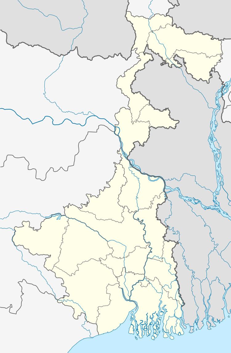
Map of Bhangar Raghunathpur, West Bengal 743502
Bhangar Raghunathpur is a census town in Bhangar I CD Block in South 24 Parganas district in the Indian state of West Bengal. Bhangar has a police station in Baruipur subdivision.
Demographics
As per 2011 Census of India Bhangar Raghunathpur had a total population of 6,037, of which 3,025 (50%) were males and 3,012 (50%) were females. Population below 6 years was 835. The total number of literates in Bhangar Raghunathpur was 3,875 (74.49 % of the population over 6 years).
As of 2001 India census, Bhangar Raghunathpur had a population of 5009. Males constitute 51% of the population and females 49%. Bhangar Raghunathpur has an average literacy rate of 59%, lower than the national average of 59.5%; with male literacy of 65% and female literacy of 53%. 16% of the population is under 6 years of age.
Healthcare
Certain areas of South 24 Parganas district has been identified where ground water is affected by arsenic contamination. High levels of arsenic in ground water was found in 12 blocks of the district. Water samples collected from tubewells in the affected places contained arsenic above the normal level (10 microgram a litre as specified by the World Health Organisation). The affected blocks are Baruipur, Bhangar I, Bhangar II, Bishnupur I, Bishnupur II, Basanti, Budge Budge, Canning I, Canning II, Sonarpur, Mograhat II and Joynagar.