
Population 2,422 (2015 est) Website Balranald Shire Area 21,693 km² | Mayor Leigh Byron Council seat Balranald | |
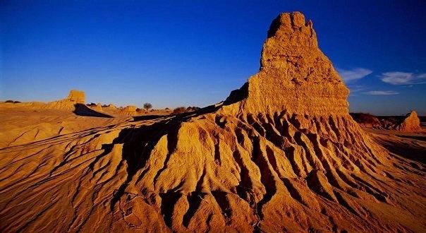 | ||
Balranald Shire is a local government area in the Riverina area of western New South Wales, Australia on the Sturt Highway. It is the location of World Heritage listed Mungo National Park. It includes the towns of Balranald and Euston. Other localities in the Shire include Kyalite, Hatfield, Penarie, Clare and Oxley.
Contents
Map of Balranald, NSW, Australia
The Mayor of Balranald Shire Council is Clr Leigh Byron, an Independent politician.
Current composition and election method
Balranald Shire Council is composed of eight councillors elected proportionally as a single ward. All councillors are elected for a fixed four-year term of office. The mayor is elected by the councillors at the first meeting of the Council. The most recent election was held on 10 September 2016, and the makeup of the council is as follows:
The current Council, elected in 2016, in order of election, is: