Area 20.11 km² Population 158 (1999) | Intercommunality Chaourçois Local time Wednesday 11:21 AM | |
 | ||
Weather 7°C, Wind SW at 23 km/h, 90% Humidity | ||
Balnot-la-Grange is a French commune in the Aube department in the Grand Est region of north-central France.
Contents
- Map of 10210 Balnot la Grange France
- Geography
- History
- Administration
- Demography
- Sites and monuments
- References
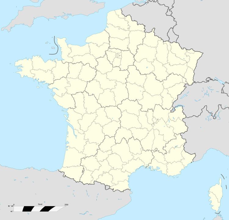
Map of 10210 Balnot-la-Grange, France
The inhabitants of the commune are known as Balnotiers or Balnotières.
Geography
Balnot-la-Gramnge is located some 35 km south by south-east of Troyes and 22 km north-east of Tonnerre. Part of the southern border is the departmental border between Aube and Yonne. Access to the commune is by road D84 from Chesley in the west which passes through the village and continues north-east to Arrelles. The D34 from Maisons-lès-Chaource to Villiers-le-Bois passes through the west of the commune. The D125 comes from Bragelogne-Beauvoir in the south-east and passes through the village continuing north-west to join the D34 in the commune. The D17 from Pargues to Bagneux-la-Fosse passes through the north-eastern corner of the commune. The commune is mostly farmland with some forests west of the village.
The Marve river flows through the commune and the village from the south and continues north until it joins the Hozain near La Chapelle-d'Oze.
History
In Gallo-Roman times three Roman roads left from Vertault (Vertillum, an important centre south of Côte-d'Or) towards the north. One of these ways passed through Chaource via Balnot-la-Grange.
Until the 16th century Balnot had only a barn - i.e. a farm belonging to the Abbey of Quincy. When the Abbey could not reclaim this ruined barn it decided to break up the land and, according to an agreement in 1518, made a gift to every person wishing to settle there. The donation consisted of an arpent to build a house and outbuildings through a censive for the dwelling, a royalty for the fireplace, and the right to cultivate the land. New residents received the right to use the woods and a pond belonging to the abbey and, in addition, to earn release from serfdom. It was stipulated that the people could not assemble without the authorization of the abbot.
In 1775 the French economist Pierre Samuel du Pont de Nemours recommended three levels of assembly:
The Royal settlement of 23 June 1787 required that each election be divided into six electoral arrondissements. That law was randomly applied and so the election of Bar-sur-Aube was divided into twelve arrondissements including that of Balnot-la-Grange. Its existence was brief as it served as an electoral boundary for only one vote.
Administration
List of Successive Mayors
(Not all data is known)
Demography
In 2010 the commune had 139 inhabitants. The evolution of the number of inhabitants is known from the population censuses conducted in the commune since 1793. From the 21st century, a census of communes with fewer than 10,000 inhabitants is held every five years, unlike larger communes that have a sample survey every year.
Sources : Ldh/EHESS/Cassini until 1962, INSEE database from 1968 (population without double counting and municipal population from 2006)
Sites and monuments
The current Malassise Farm is a former mansion from the 16th century.
The Parish Church of the Nativity of Saint Vierge contains many items that are registered as historical objects:
