Time zone WET (UTC+0) Elevation 100 m | Irish grid reference S142290 Local time Wednesday 2:39 AM | |
 | ||
Weather 3°C, Wind SW at 10 km/h, 85% Humidity | ||
Ballyclerahan (Irish: Baile Uí Chléireacháin) is a village in County Tipperary, Ireland. It is also a civil parish in the barony of Iffa and Offa East. It is approximately 8.5 kilometres north of Clonmel. Its name comes from the Irish meaning O'Clerahan's town. Locally, the "Bally" prefix is usually dropped and the village is almost always referred to simply as "Clerahan" which is most often spelled "Clerihan".
Contents
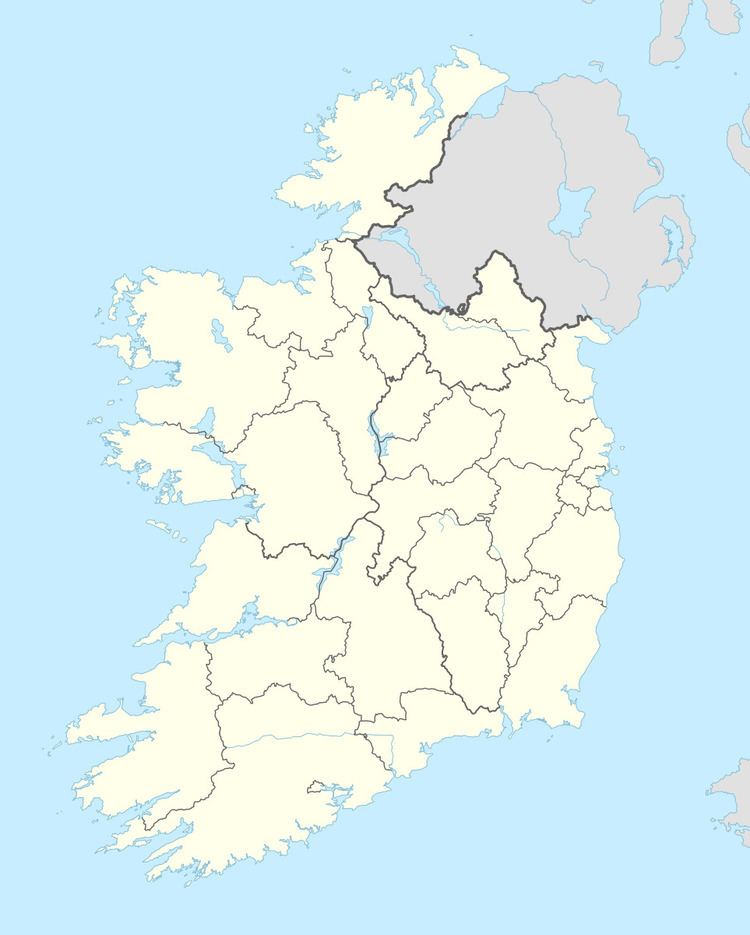
Map of Ballyclerahan, Co. Tipperary, Ireland
Location and transport
The village is situated along the R688 regional road from Cashel to Clonmel. Ballyclerihan is 8 kilometres north of the N24 road which leads to Waterford the closest city to Ballyclerihan which is approximately 56 kilometres from the village. The city of Waterford plays a major role in village transport as the closest airport to Ballyclerihan is Waterford Airport located 65 kilometres south of the village, and the Port of Waterford is the closest port.
