Suvarna Garge (Editor)

Balikpapan Bay

Updated on
Edit
Like
Comment
Share on FacebookTweet on TwitterShare on LinkedInShare on Reddit
Balikpapan Bay 4bpblogspotcomxj4VkGE2YUQU0KQrWsguIAAAAAAA

Balikpapan Bay (Indonesian : Teluk Balikpapan), is a bay in Indonesia, near Borneo island close to the city of Balikpapan, East Kalimantan, Indonesia. The Indonesian company Pertamina has its largest oil refinery on the eastern side of the bay.

Contents

Map of Balikpapan Bay, Indonesia

Location

Balikpapan Bay is located on the western side of Makassar Strait, in the south-west of the Pacific Ocean. The bay is bordering several areas.

  • North : Penajam Paser Utara Regency
  • East : Balikpapan city
  • South : Makassar Strait
  • West : Penajam city and Penajam Paser Utara Regency.
  • Balikpapan bay is the mouth of several rivers such as Wain River before mergeing into Makassar strait.
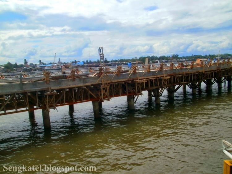
    Port and harbor

    Several public ports were located in Balikpapan Bay, such as:

  • Semayang Harbor, the largest passenger and cargo for Balikpapan city.
  • Kampung Baru Harbor, a harbour serving ferry boat passenger to Sulawesi
  • Kariangau Harbor, a ferry harbor to Penajam city.
  • Penajam Harbor, a ferry harbor to Balikpapan city.
  • Private ports were also located in this area, such as :

  • Pertamina, on the eastern part.
  • Chevron, on the western part.
  • Several coal mining company has its own private port on western and northern part.
  • References

    Balikpapan Bay Wikipedia


    Similar Topics