
Intercommunality Pays Rethélois Area 177 ha | Population (2010) 135 Local time Tuesday 11:51 PM | |
 | ||
Weather 5°C, Wind SW at 24 km/h, 83% Humidity | ||
Balham is a French commune in the Ardennes department in the Grand Est region of northern France.
Contents
- Map of 08190 Balham France
- Geography
- Toponymy
- Administration
- Demography
- Sites and monuments
- Notable people linked to the commune
- References
Map of 08190 Balham, France
The inhabitants of the commune are known as Balhamais or Balhamaises.
The commune has been awarded one flower by the National Council of Towns and Villages in Bloom in the Competition of cities and villages in Bloom.
Geography
Balham is located some 12 km west by south-west of Rethel and 3 km north-east of Asfeld. Access to the commune is by the D926 road from Gomont in the north-east which passes through the village and continues south-west to Asfeld. The commune is mixed forest and farmland.
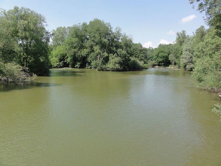
The Aisne river passes through the centre of the commune flowing from north-east to south-west on its way to join the Oise at Compiègne. The parallel Canal des Ardennes passes through the southern tip of the commune.
Toponymy
The name Balham comes from the name of a person Ballo + Heim. It was Balaan around 1172 and Balehan in 1211-1212.
Administration
List of Successive Mayors
(Not all data is known)
Demography
In 2010 the commune had 135 inhabitants. The evolution of the number of inhabitants is known from the population censuses conducted in the commune since 1793. From the 21st century, a census of communes with fewer than 10,000 inhabitants is held every five years, unlike larger communes that have a sample survey every year.
Sources : Ldh/EHESS/Cassini until 1962, INSEE database from 1968 (population without double counting and municipal population from 2006)