
Country United States Time zone CST (UTC-6) Elevation 148 m Local time Tuesday 3:28 PM | Established November 2, 1869 ZIP codes 62883, 62894 Area 93.58 km² Population 767 (2010) | |
 | ||
Weather 21°C, Wind S at 29 km/h, 83% Humidity | ||
Bald Hill Township is one of sixteen townships in Jefferson County, Illinois, USA. As of the 2010 census, its population was 767 and it contained 359 housing units.
Contents
- Map of Bald Hill Township IL USA
- Geography
- Cities towns villages
- Unincorporated towns
- Adjacent townships
- Cemeteries
- Major highways
- School districts
- Political districts
- References
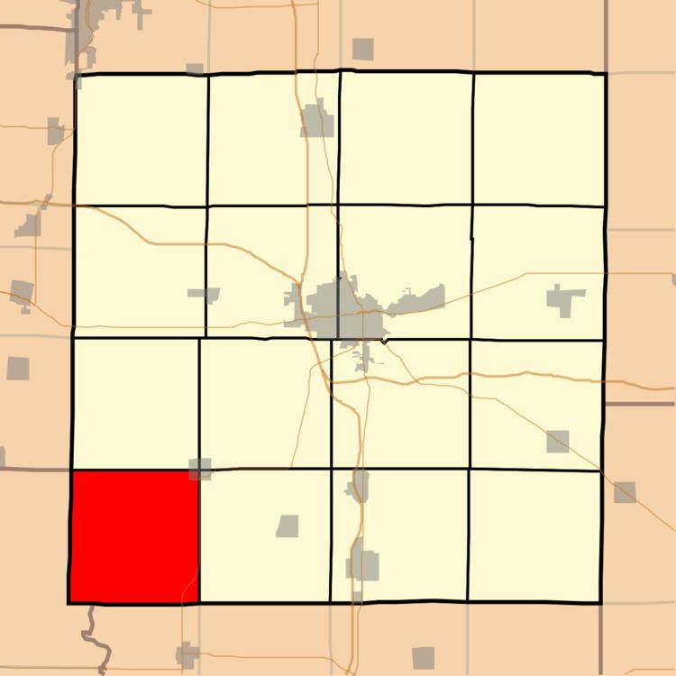
Map of Bald Hill Township, IL, USA
Geography
According to the 2010 census, the township (T4S R1E) has a total area of 36.13 square miles (93.6 km2), of which 35.8 square miles (93 km2) (or 99.09%) is land and 0.33 square miles (0.85 km2) (or 0.91%) is water. The township is centered at 38°10'N 89°6'W (38.169,-89.092).
Cities, towns, villages
Unincorporated towns
(This list is based on USGS data and may include former settlements.)
Adjacent townships
Cemeteries
The township contains these five cemeteries: Bald Hill, Dryden, Saint Barbara, Stephens and Ward.
Major highways
School districts
Political districts
References
Bald Hill Township, Jefferson County, Illinois Wikipedia(Text) CC BY-SA