
Country United States Time zone CST (UTC-6) Elevation 132 m Population 2,715 (2010) | Established November 4, 1884 ZIP codes 62865, 62883, 62884 Area 73.09 km² Local time Thursday 6:21 PM | |
 | ||
Weather 7°C, Wind S at 18 km/h, 46% Humidity | ||
Goode Township is one of twelve townships in Franklin County, Illinois, USA. As of the 2010 census, its population was 2,715 and it contained 1,268 housing units.
Contents
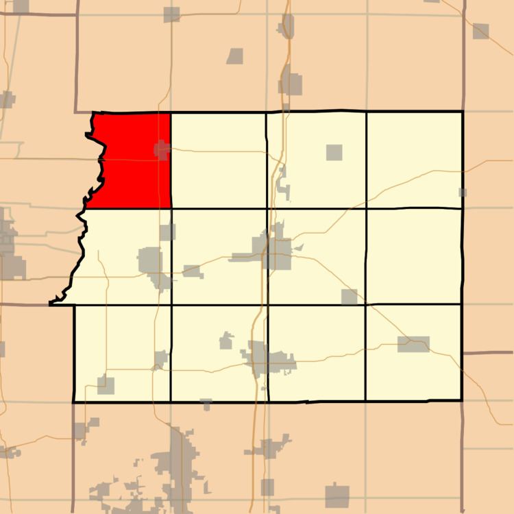
- Map of Goode Township IL USA
- Geography
- Cities towns villages
- Unincorporated towns
- Cemeteries
- Major highways
- School districts
- Political districts
- References
Map of Goode Township, IL, USA
Geography
According to the 2010 census, the township has a total area of 28.22 square miles (73.1 km2), of which 27.93 square miles (72.3 km2) (or 98.97%) is land and 0.29 square miles (0.75 km2) (or 1.03%) is water.
Cities, towns, villages
Unincorporated towns
(This list is based on USGS data and may include former settlements.)
Cemeteries
The township contains these four cemeteries: Bear Point, Maple Hill, Mitchell and Youngblood.
Major highways
School districts
Political districts
References
Goode Township, Franklin County, Illinois Wikipedia(Text) CC BY-SA