
Postal code 42965 Elevation 1,400 m Area code 0332 | Time zone EET (UTC+2) Licence plate 42 Population 2,279 (2011) | |
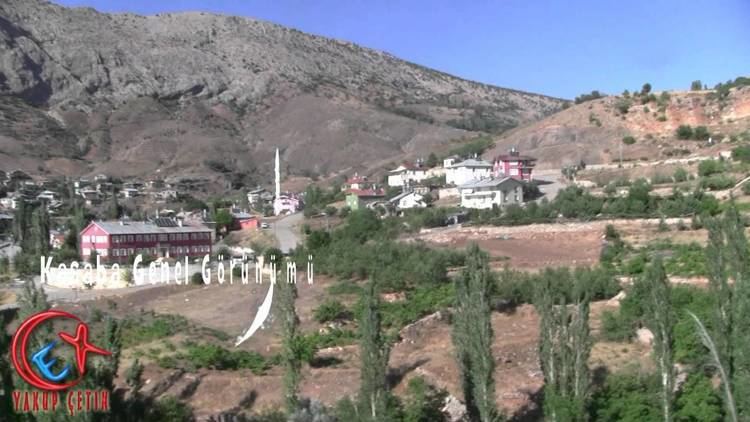 | ||
Balcılar is a town in the district of Taşkent, Konya Province, Turkey.
Contents
- Map of BalcC4B1lar BalcC4B1lar Mahallesi 42965 TaC59Fkent2FKonya Turkey
- Geography
- History
- Economy
- References
Map of Balc%C4%B1lar, Balc%C4%B1lar Mahallesi, 42965 Ta%C5%9Fkent%2FKonya, Turkey
Geography
Balcılar (former Alata) is in the rural area of Taşkent district which is a part of Konya Province. It is on the northern slopes of Toros Mountains at 1,400 m (4,600 ft). The town is far from the main highways; the distance to Taşkent is 27 km (17 mi) and to Konya is 173 km (107 mi). The population is 2,279 as of 2011
History
The earliest settlers in the 16th century were Turkmens from the village of Alata (modern Erdemli district of Mersin Province) who named the village after their former home, Alata. In 1964, Alata was declared a township and renamed Balcılar, meaning beekeepers. Balcılar made news in 2008 when bottled gas in a girls’ dormitory building exploded, killing 16 students and two teachers.
Economy
The main economic activities are beekeeping and agriculture. Apple is the most pronounced crop, followed by cherry and walnut.