
OS grid reference NY635916 | Inflow source River Tyne | |
 | ||
Similar Kielder Viaduct, Kielder Waterside, River Tyne, Fontburn, Colt Crag Reservoir | ||
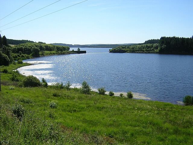
Bakethin Reservoir is a reservoir immediately upstream of Kielder Water, in Northumberland, England, close to the border with Scotland. It is fed by the River North Tyne and lies southeast of Kielder village.
Contents
Map of Bakethin Reservoir, Hexham, UK
The reservoir is created by the weir that separates it from Kielder Water, and its purpose is to prevent the shallow upper reaches of Kielder Water from drying out with the rise and fall in level of the main reservoir. Bakethin is a conservation area, which is managed by Northumberland Wildlife Trust on behalf of Northumbrian Water.
Flora and fauna
The reserve has an excellent variety of plants including rarities like the Northern Spike Rush which grows along the margins of the reservoir. The construction of artificial islands near the south bank of the reservoir encourage nesting wildfowl and otters. Two ponds created near the viaduct also provide excellent habitat for amphibians and dragonflies.