
Population 1,147 (2011 census) Postcode(s) 6562 Founded 1897 Local time Wednesday 2:01 AM | Established 1897 Elevation 330 m Postal code 6562 | |
 | ||
Weather 22°C, Wind E at 11 km/h, 59% Humidity | ||
Almond ave bakers hill western australia
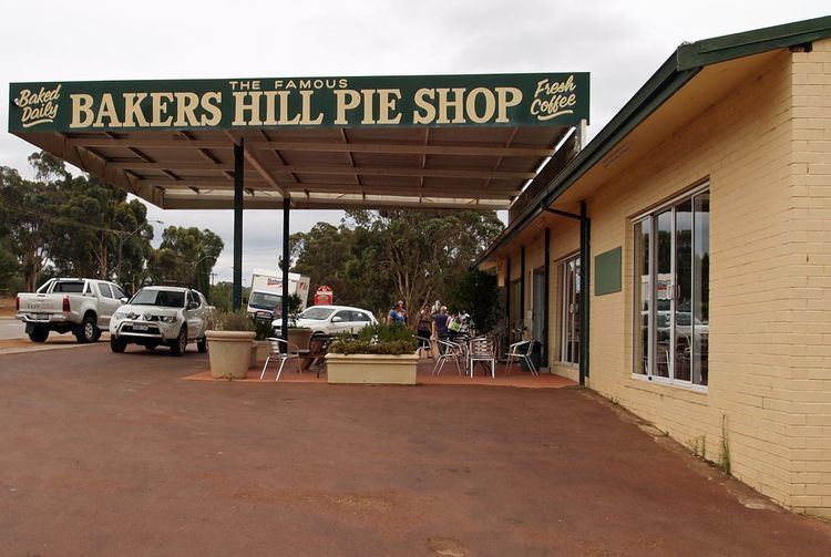
Bakers Hill is a town 73 kilometres (45 mi) east of Perth, Western Australia on the Great Eastern Highway. The town is located within the Shire of Northam, between Wundowie and Clackline. At the 2011 census, Bakers Hill had a population of 1,147.
Contents
- Almond ave bakers hill western australia
- Map of Bakers Hill WA 6562 Australia
- History
- Railways
- Climate
- References
Map of Bakers Hill WA 6562, Australia
History
The town was originally known as Mount Baker in 1897. In 1902 the name was changed to Baker's Hill to avoid confusion with the town of Mount Barker in the Great Southern area. The apostrophe was removed from the name in 1944.
Railways
Bakers Hill was also a station and siding on the second route of the Eastern Railway between Midland Junction and Spencers Brook. This track was closed in 1966 when the route through the Avon Valley was opened.
Although the rail was removed in 1980, remnants of the old station platform are still visible.
Climate
Bakers Hill has a Mediterranean climate with hot dry summers and cool, rather wet winters.