Postcode(s) 4470 Bakers Bend Riversleigh | Postal code 4470 | |
 | ||
Location 42.4 km (26 mi) SSW of Charleville308 km (191 mi) W of Roma784 km (487 mi) ENE of Brisbane | ||
Bakers Bend is a locality in the Shire of Murweh, Queensland, Australia.
Contents
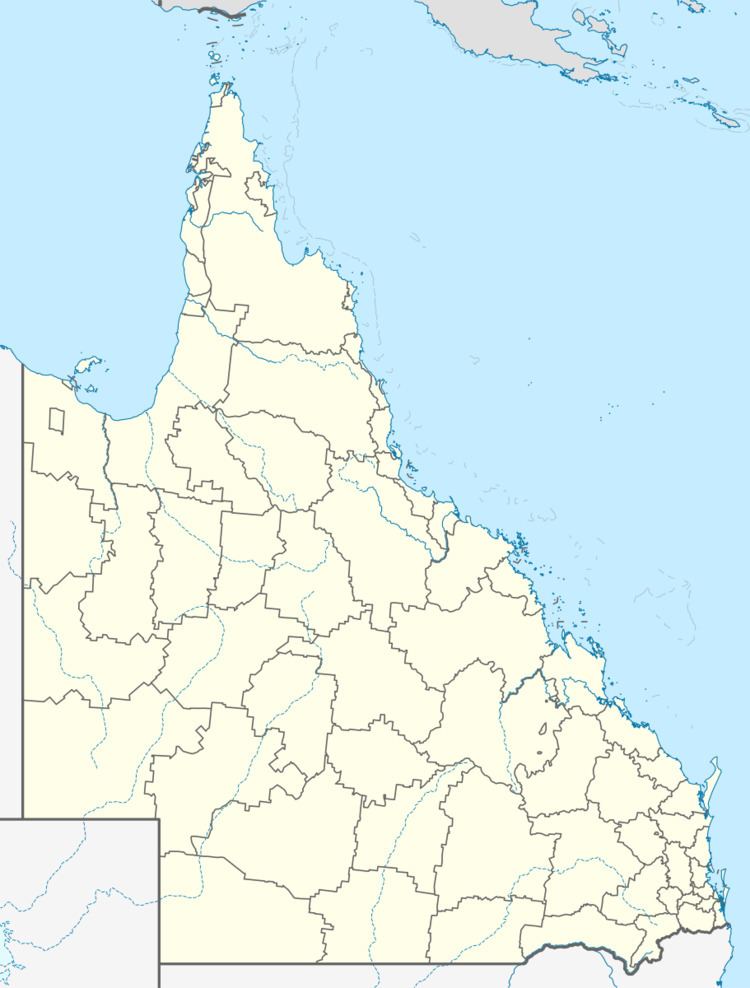
Map of Bakers Bend QLD 4470, Australia
Geography
The Warrego River meanders from north to south through the locality. The Western railway line from Charlevillle to Cunnamulla runs north to south through the locality, east of the river. The Mitchell Highway runs from north to south through the locality parallel and immediately east of the railway line.
Heritage listings
Bakers Bend has a number of heritage-listed sites, including:
References
Bakers Bend Wikipedia(Text) CC BY-SA
