
Country IndiaUttarakhand Time zone IST (UTC+5:30) Area 20 km² | Named for Haldu tree Vehicle registration UK 04 Elevation 585 m Population 1,128 (2001) | |
 | ||
Weather 17°C, Wind NE at 5 km/h, 41% Humidity | ||
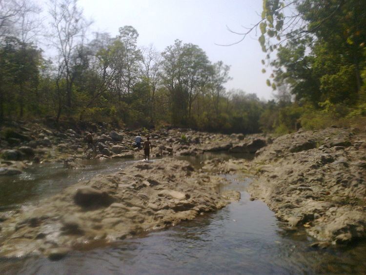
Bajauniyahaldu is a village in the foothills of Nainital.
Contents
Etymology
Bajauniyahaldu name is originated from the plant Haldu (Haldina).
Location
The place is famous for Rajkiya Inter College. It is surrounded by dense forest and runs parallel to Baur River. Its population is nearly 1128 as of 2009. It has many educational institutes both government and private e.g. Rajkiya Inter College, JNG Public School, Sunrise Public School and Educamp.
Literacy rate is 89%, which is higher than the national literacy rate. Male literacy rate is- 97.28% and Female literacy rate is- 81.25%.
Economy
The village is famous for its agricultural and dairy products. The majority of population is involved in farming. Wheat, rice, millet, tomato, and various other vegetables are produced year round. It is one of the chief producers of tomatoes, which are exported to other Asian countries.
Languages
Kumaoni (पहाड़ी) is the most widely spoken language. Hindi is the next most common.
Nearby places
Bajauniyahaldu is 36 km away from the Kathgodam railway station. Haldwani is 34 km by road. The nearest airport is Pantnagar Airport 75 km away.