
Banner seat Local time Wednesday 12:04 AM Area code 0476 | Elevation 484 m (1,588 ft) Area 6,644 km² Postal code 25450 | |
 | ||
Country People's Republic of China Weather -7°C, Wind W at 3 km/h, 37% Humidity | ||
Baarin Left Banner (Mongolian: ᠪᠠᠭᠠᠷᠢᠨ ᠵᠡᠭᠦᠨ ᠬᠣᠰᠢᠭᠤ Баарин Жэгүн қосиу Baɣarin Jegün qosiɣu; Chinese: 巴林左旗; pinyin: Bālín Zuǒ Qí), or Bairin, is a banner of eastern Inner Mongolia, People's Republic of China. It is under the administration of Chifeng City, 195 kilometres (121 mi) to the south-southwest. Baarin Mongols live here. The distinct Mongolian dialect of this region is called Baarin. It is located at the intersection of two national highways: China National Highway 303 and 305. It was the Capital of Chinese Liao Dynasty, when the city is called Shangjing (Chinese: 上京) at that time.
Contents
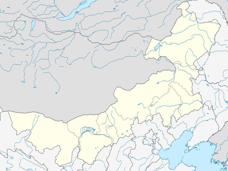
Map of Bairin Zuoqi, Chifeng, Inner Mongolia, China
Climate
Baarin Left Banner has a dry, monsoon-influenced humid continental climate (Köppen Dwa), falling just short of being semi-arid (Köppen BSk), with very cold and dry winters, hot, somewhat humid summers, and strong winds, especially in spring. The monthly 24-hour average temperature ranges from −13.5 °C (7.7 °F) in January to 22.5 °C (72.5 °F) in July, with the annual mean at 5.33 °C (41.6 °F). The annual precipitation is approximately 390 millimetres (15.4 in), with more than half of it falling in July and August alone. Due to the aridity and elevation, diurnal temperature variation often exceeds 15 °C (27 °F) in spring, averaging 14.2 °C (25.6 °F) annually. There are 2,934 hours of bright sunshine annually, with each of the winter months having over 70% of the possible total, and this percentage falling to 52 in July.