
Elevation 3,760 m | Topo map USGS Lizard Head Peak | |
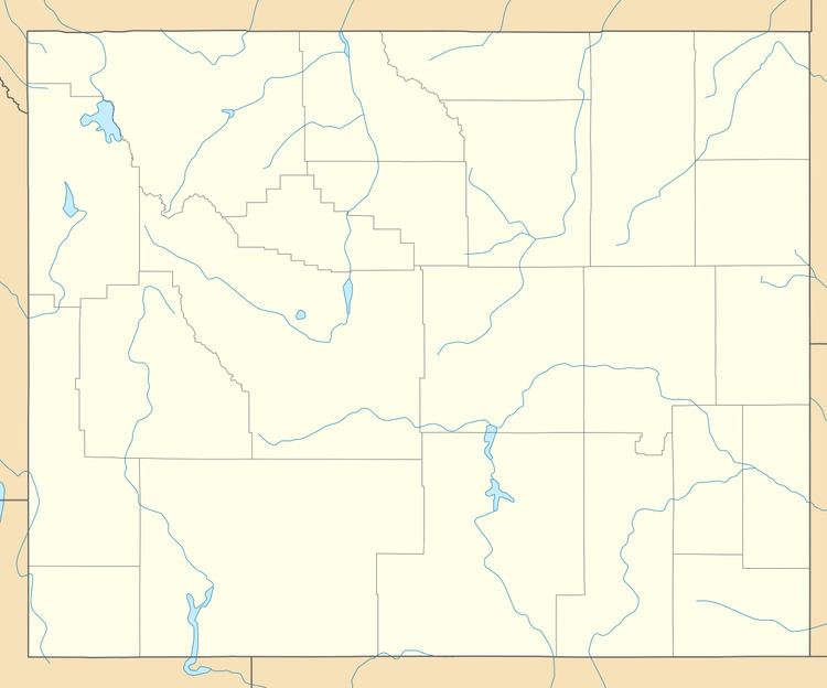 | ||
Bair Peak (12,335 feet (3,760 m)) is located in the Wind River Range in the U.S. state of Wyoming. The mountain is on the Continental Divide in the Bridger Wilderness of Bridger-Teton National Forest and Popo Agie Wilderness of Shoshone National Forest. Washakie Glacier lies on the north slopes of the peak.
Map of Bair Peak, Wyoming 82520, USA
References
Bair Peak Wikipedia(Text) CC BY-SA