
Postal code 7470 Population 216,897 (2011) | Time zone BST (UTC+6) Area 308.3 km² | |
 | ||
Website Official Map of Bagherpara | ||
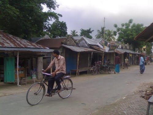
Bagherpara (Bengali: বাঘারপাড়া) is an Upazila of Jessore District in the Division of Khulna, Bangladesh.
Contents
Geography
Bagherpara is located at 23.2167°N 89.3500°E / 23.2167; 89.3500. It has a total area of 308.29 km².
Demographics
As of the 2011 Bangladesh census, Bagherpara has a population of 216,897. In 1991 males constituted 51.21% of the population, and females 48.79%; this Upazila's eighteen-up population was 84303. Bagherpara has an average literacy rate of 34.5% (7+ years), and the national average of 32.4% literate.
Administration
Bagherpara has 9 Unions/Wards, 156 Mauzas/Mahallas, and 191 villages. Unions Name
Education
@ Kayal Khaly Govt. Primary School, Established 2004; Founder,Muhammad Hafizur Rahman, USA.
Chhaibaria primary School. C.S.A.High School. Japan Bangladesh Friendship Agricultural College. Jamdia High School. Jamdia Hafijia Dakhil Madrasha Khalshe Girls School. Dargahpur Fazil Degree Madrasha Andul Baria High School Bir Protik Ishaqe College,Dhalgr.