
Website Official Map of Bagha Population 153,931 (1991) | Time zone BST (UTC+6) Area 184.2 km² | |
 | ||
Bagha (Bengali: বাঘা) is an upazila of Rajshahi District in the Division of Rajshahi, Bangladesh.
Contents
Map of Bagha Upazila, Bangladesh
Geography
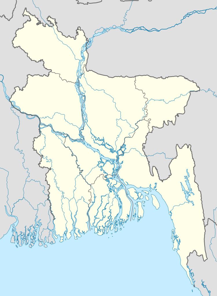
Bagha is located at 24.1917°N 88.8333°E / 24.1917; 88.8333 . It has 29056 households and total area 184.25 km².
Demographics
As of the 1991 Bangladesh census, Bagha has a population of 153931. Males constitute 51.48% of the population, and females 48.52%. This Upazila's eighteen up population is 77686. Bagha has an average literacy rate of 26.2% (7+ years), and the national average of 32.4% literate.
Administration
Bagha has 2 Municipality, 7 Unions/Wards, 98 Mauzas/Mahallas, and 101 villages.
References
Bagha Upazila Wikipedia(Text) CC BY-SA