Highest elevation 232 ft (70.7 m) | ||
 | ||
Bag-o Isi Island (variously Magaisi Island or Magaisi Islet) is a small island in northeastern Iloilo, Philippines. It is part of the municipality of Concepcion.
Contents
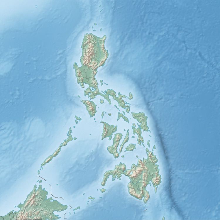
Map of Bag-o Isi Island, Concepcion, Iloilo, Philippines
Location and geography
Bag-o Isi Island is east of Panay Island in the Visayan Sea. Part of the Concepcion Islands, Bag-o Isi is off the north coast of Pan de Azucar Island. Bocot Island is only 0.40 kilometres (.25 mi) from Bag-o Isi Island. Bago-o Isi is 232 feet (71 m) at its highest point.
References
Bag-o Isi Island Wikipedia(Text) CC BY-SA
