
Population 333 (2011 census) Postcode(s) 6521 Founded 1955 Local time Tuesday 1:46 PM | Established 1955 Postal code 6521 | |
 | ||
Weather 36°C, Wind SW at 6 km/h, 23% Humidity | ||
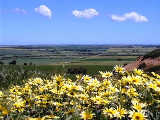
Badgingarra is a small town in the Wheatbelt region of Western Australia, about 205 kilometres (127 mi) north of Perth in the Shire of Dandaragan. It lies on the Brand Highway adjacent to the Badgingarra National Park.
Contents
Map of Badgingarra WA 6521, Australia
History
The town was gazetted in 1955 and takes its name from nearby Badgingarra Pool. "Badgingarra" is a Noongar word said to mean "water by the manna gums".
The district was originally surveyed in the 1880s; however due to the widespread presence of poison plants in the area and the soil types, the land was not developed for agriculture. Little settlement occurred until the 1950s, when the use of trace elements such as zinc and copper in fertilisers allowed for farming to occur on the sandy soils around Badgingarra.
In 1955 sufficient population growth had occurred for the gazettal of a townsite to support the settlers. In 1959 the state government established the Badgingarra Research Station, to assist farmers in the development of their enterprises. In 1965 a primary school was established, initially operated in the community hall before a new school was built and opened in 1968.
Commercial area
Today Badgingarra contains a primary school, tavern and post office, roadhouse and other businesses. It has several recreational facilities at its Community Centre including tennis courts, a bowling green, a football oval, a golf course, parks and playgrounds.
The planned development of the Brand Highway 7 kilometres (4 mi) west of the Badgingarra townsite spurred the people of Badgingarra to resolve to shift the townsite so as to lie on the Brand Highway.
Natural disasters
A large bushfire swept through the area in 2010 burning out 19 farms and over 10,000 hectares (24,711 acres) of farm land. At least 1,700 head of cattle were lost along with sheep, crops, a sandalwood plantation and fences.
The town was lashed by storms in 2012 receiving 50 millimetres (2.0 in) of rain in less than an hour accompanied by driving winds and a large amount of hail which served to destroy crops and transform the area into a "winter wonderland".