
Time zone CET (UTC+1) Area 11.6 km² Local time Tuesday 1:10 AM District Oberwart District | Elevation 340 m Population 1,342 (1 Apr 2009) Postal code 7431 | |
 | ||
Website www.bad-tatzmannsdorf.at Weather 2°C, Wind SW at 6 km/h, 70% Humidity | ||
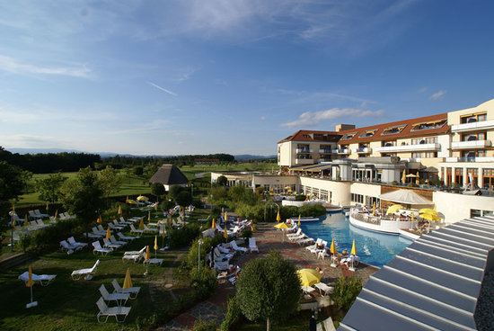
Gesundheitsressort bad tatzmannsdorf kur therme wellness
Bad Tatzmannsdorf (Hungarian: Tarcsafürdő, Croatian: Tarča) is a municipality in Burgenland in the district of Oberwart in Austria.
Contents
- Gesundheitsressort bad tatzmannsdorf kur therme wellness
- Map of 7431 Bad Tatzmannsdorf Austria
- Meine kur in bad tatzmannsdorf
- Geography
- History
- Politics
- References
Map of 7431 Bad Tatzmannsdorf, Austria
Meine kur in bad tatzmannsdorf
Geography
Parts of the municipality are Bad Tatzmannsdorf, Jormannsdorf, and Sulzriegel.
The countryside is rolling hills ideal for walkers.
In recent years the town is developing its hot water spa facilities which are provided by a number of spa hotels and a public facility called the Burgenland Spa.
History
Between 1869 and 1921 Bad Tatzmannsdorf belonged to Hungary, like the whole of Burgenland.
Politics
Of the 19 positions on the municipal council, the ÖVP has 8, the SPÖ 7, and the FPÖ 4.
References
Bad Tatzmannsdorf Wikipedia(Text) CC BY-SA