
Elevation 2,790 ft (850 m) | Local time Monday 10:27 AM | |
 | ||
Weather 19°C, Wind S at 10 km/h, 32% Humidity | ||
telemaxenredes en 1 minuto conociendo sonora bacad huachi
Bacadéhuachi ([bakaˈðewatʃi]) is a village in Bacadéhuachi Municipality in the northeast of the Mexican state of Sonora. It is 269 kilometers northeast of the state capital, Hermosillo.
Contents
- telemaxenredes en 1 minuto conociendo sonora bacad huachi
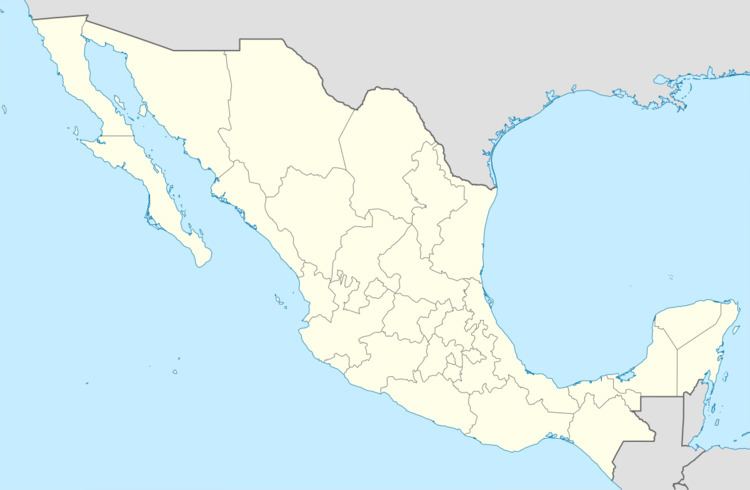
- Map of BacadC3A9huachi Sonora Mexico
- Bacad huachi sonora mpg
- Origin of the name and history
- Geography
- Population decrease
- Economy
- References
Map of Bacad%C3%A9huachi, Sonora, Mexico
Bacad huachi sonora mpg
Origin of the name and history
The name is derived from the Opata language with the roots "Baca", reed, "degua", entrance, door, and "tzi", place; "In the place of the reed". [1]
In 1645 the Jesuit missionary Cristóbal García founded the settlement of San Luis de Bacadéhuachi, in lands then occupied by the Opata tribe.
Geography
The region is semi-arid and lies in the foothills of the Sierra Madre Occidental. The main river is the Bavispe. There are pine forests in the mountainous areas and wildlife is abundant. Mammals still present are deer, puma, lince, coyote, jaguar, mapache, and skunk. Some of the birds are the owl, nightingale, buzzard, and eagle.
Population decrease
The population has decreased since the last census in 1995 when there were 1,380 inhabitants. Scarce economic opportunities have caused many young people to emigrate. The population density is extremely low, with 0.88 inhabitants per square kilometer.
Economy
The economy is almost entirely based on agriculture and cattle raising, both of which are poorly developed due to the shortage of water. There were approximately 11,000 head of cows in 2005. [2]